Day 2- South Fork Cascade
7/29/13 Day 2 covered about 10 miles, 1,500' gain, and almost 3,000' loss. It went into and out of the Alaska Basin, past Sunset Lake, over Hurricane Pass, and then down into the South Fork of Cascade Canyon. It also included a crazy hail storm!
 1 Sunrise on Death Canyon Shelf. Getting ready to break camp, eat some freeze dried scrambled eggs, and start Day 2. |
 2 Morning view down Death Canyon. I seem to have an irrational fear of grizzly bears at night, so I did not sleep well at all. Surprisingly, I woke up with plenty of energy. Backcountry camping solo with no humans around can definitely do crazy things to your mind. |
 3 Leaving camp. It's a beautiful morning after yesterday's thunderstorm. |
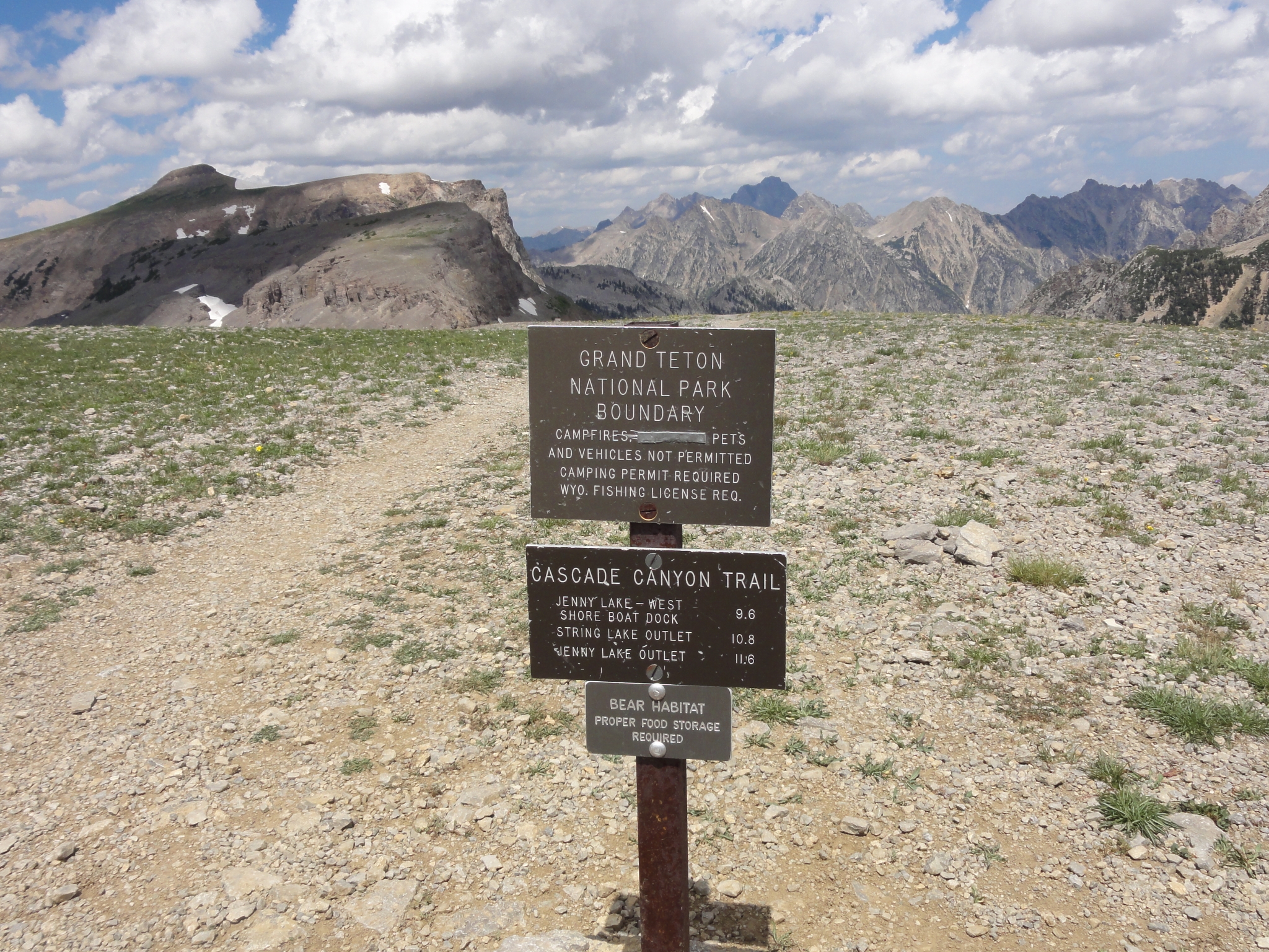
 4 Leaving the Shelf and reaching the edge of Alaska Basin, which is not part of GTNP, but hopefully will be eventually. |
 5 A look down into the Alaska Basin. Yet again, the picture just doesn't represent reality. It's amost a 1,000' drop into the middle of the picture. |
 6 Heading down the "Sheep Steps" section of the trail, now about halfway down into the Alaska Basin. |
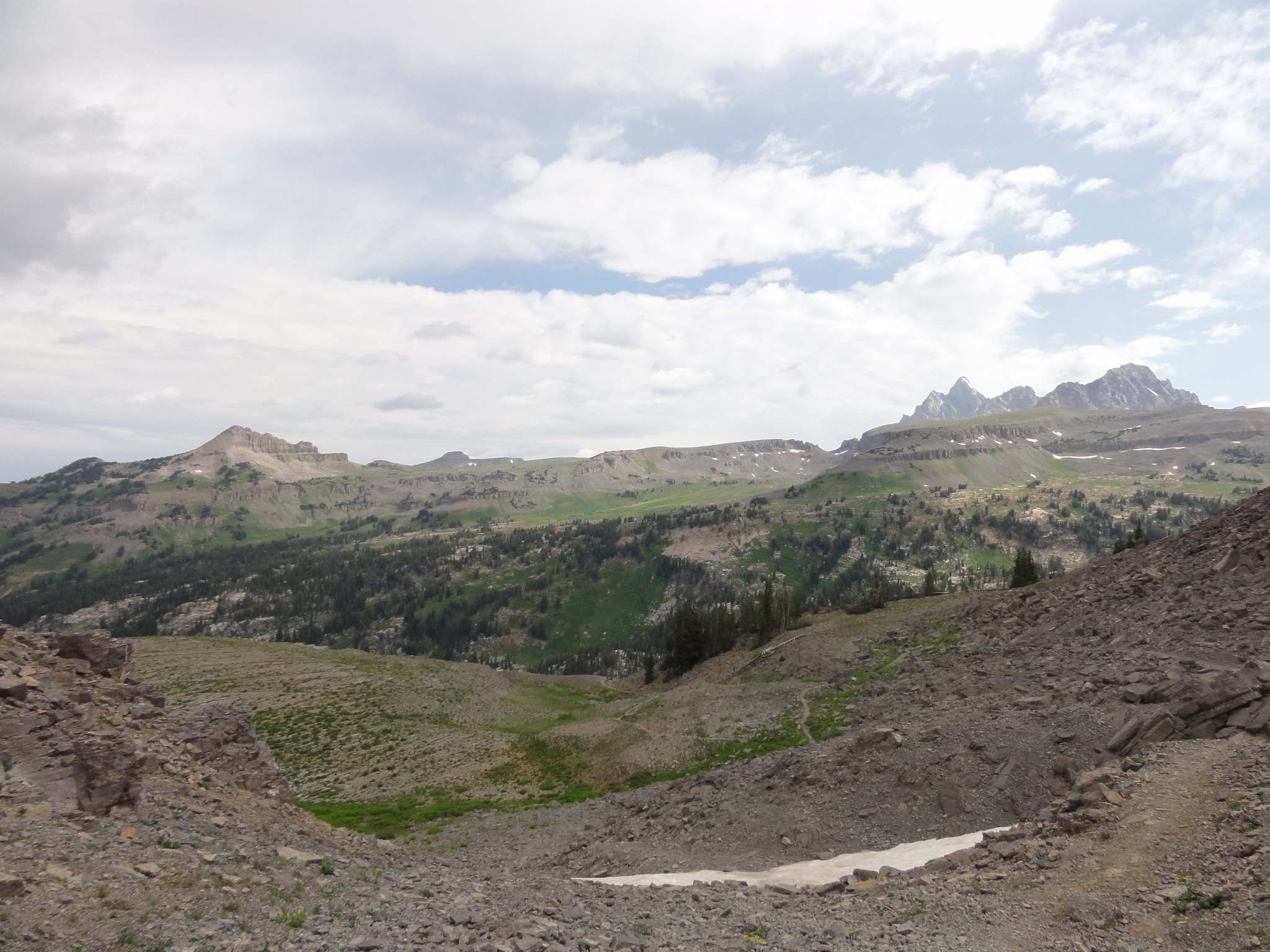
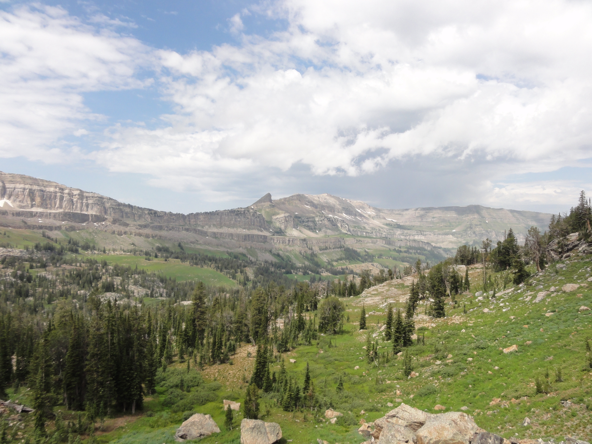
 7 A look West down the Basin. |
 8 A panorama view of the Basin from the South ridge. |
 9 Just about down to the bottom, there is water everywhere. It's fascinating how every few hours on the Teton Crest Trail (TCT) brings you to a very different environment. |
 10 Now at the bottom of the Basin heading East. |
 11 One of the few sections of the entire TCT where the trail can get hard to follow. Here the trail is marked only by ducks. |
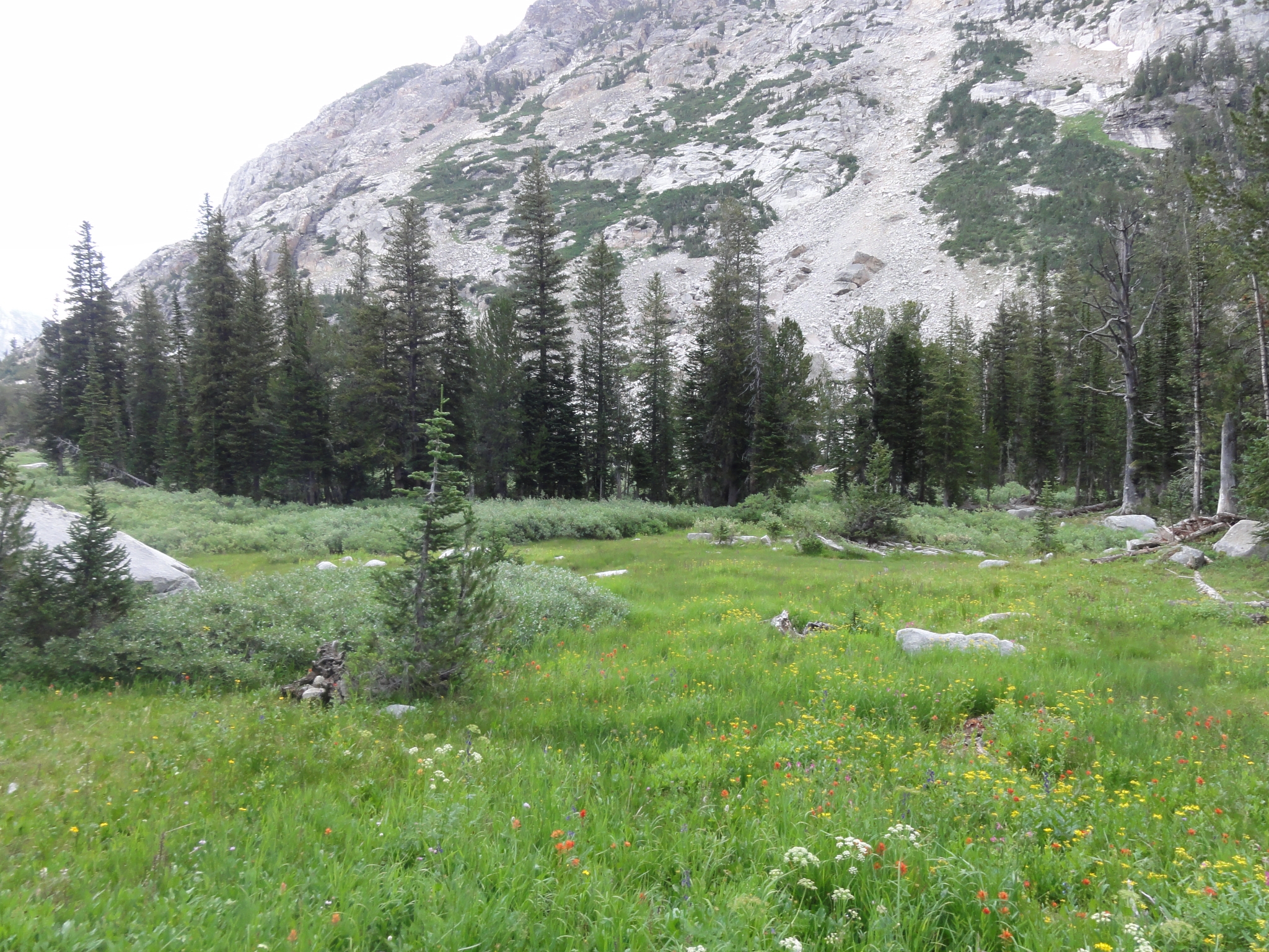
 12 There are beautiful creeks and ponds throughout the Basin. |
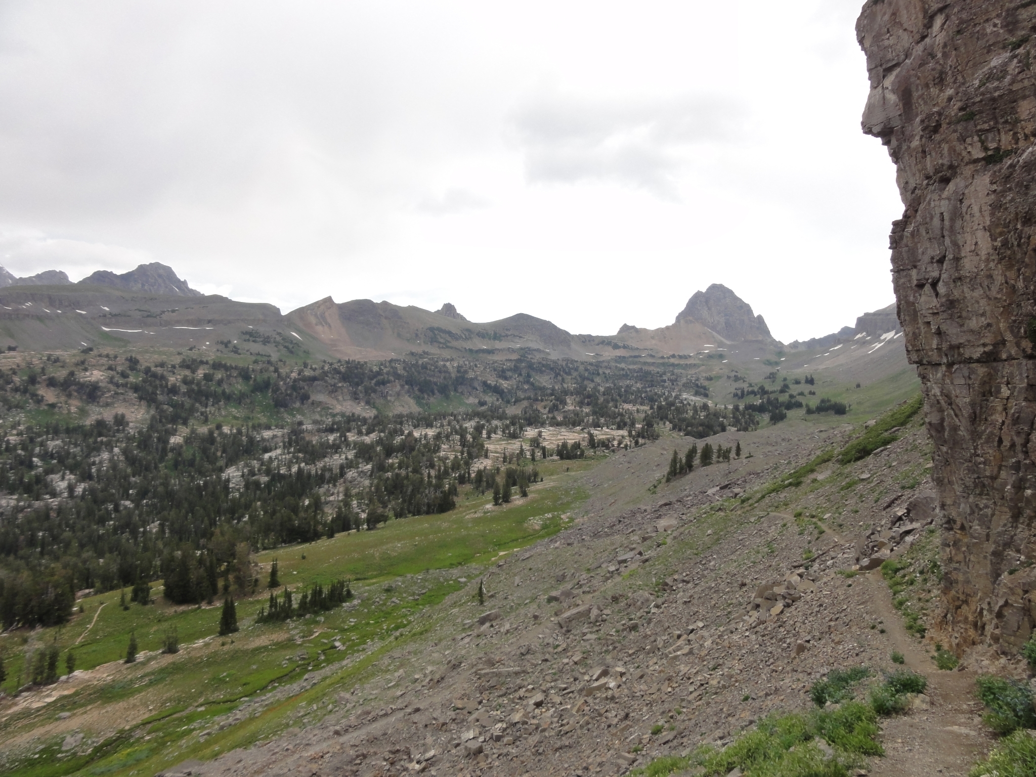
 13 Starting to head up the other side of Alaska Basin. The scenery is getting increasingly amazing. This also marks my first serious climb of the trip. |
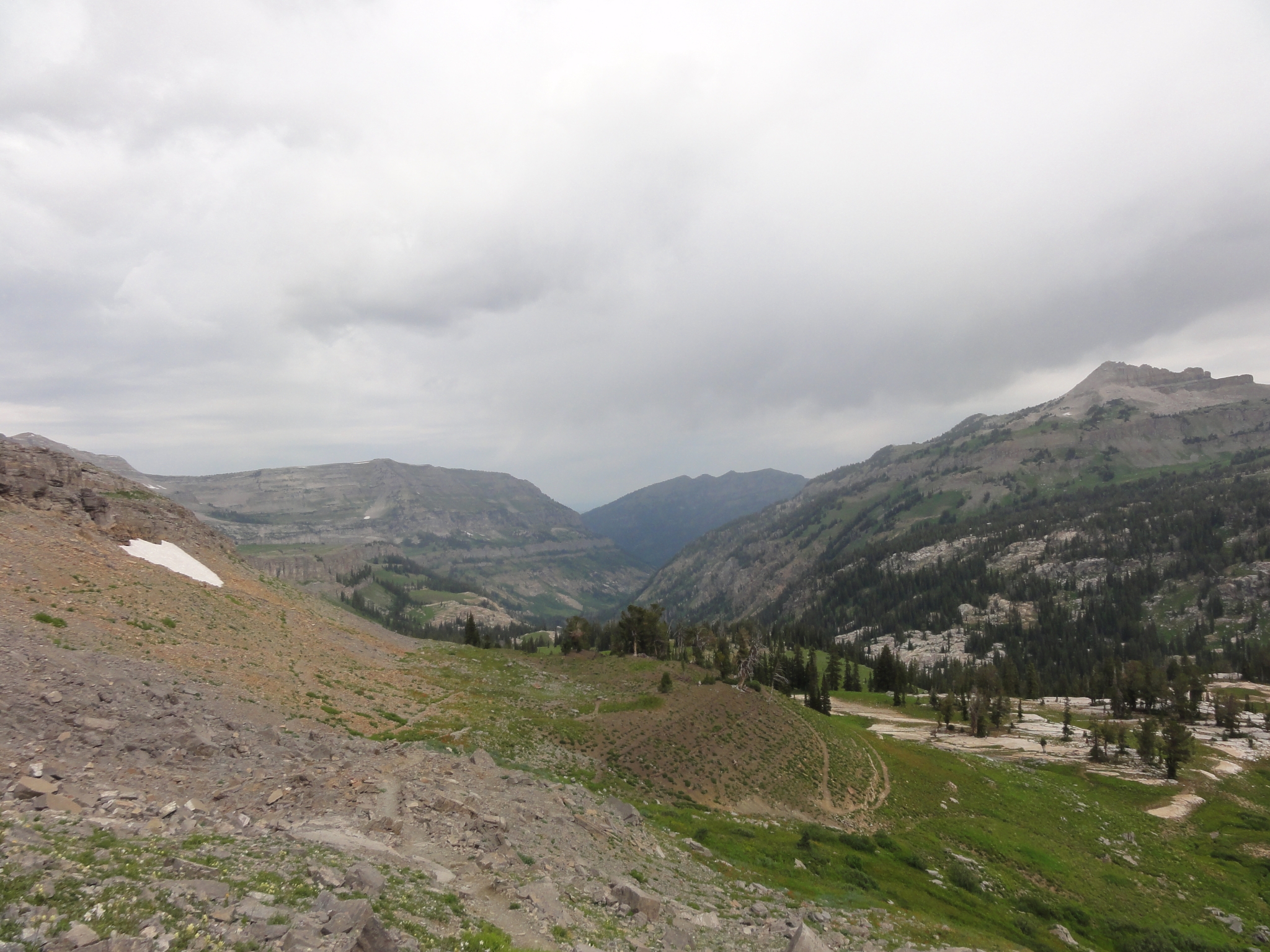
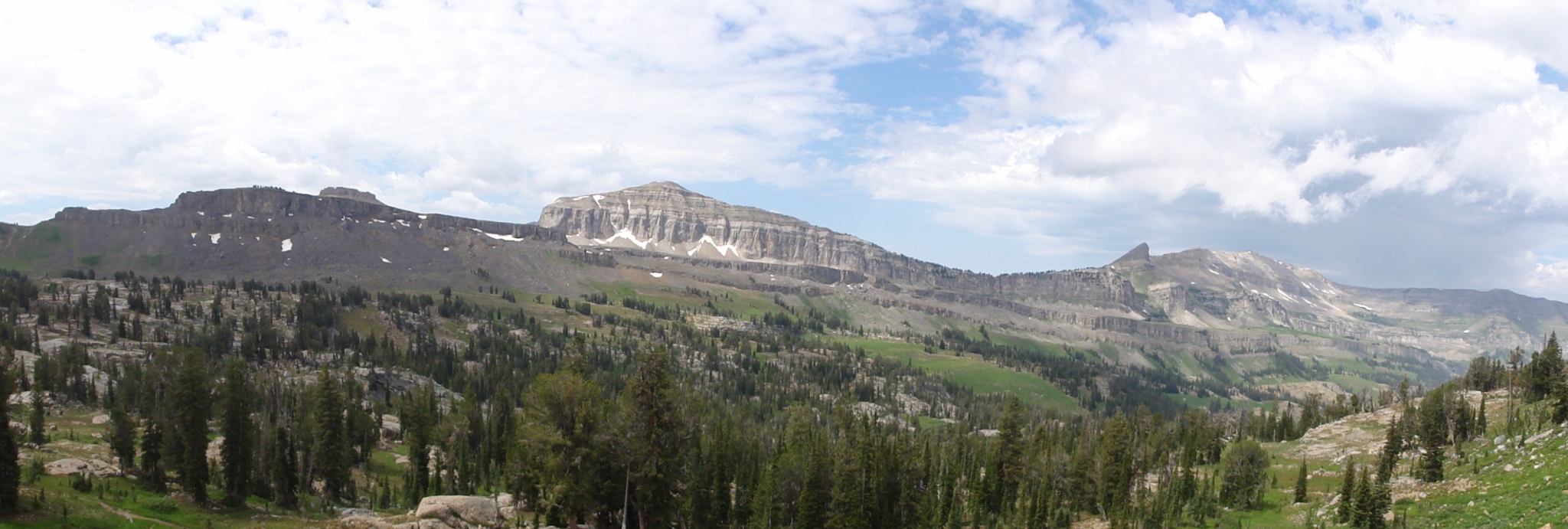 14 A panoramic look back at the other side of the Basin where I hiked down earlier. |
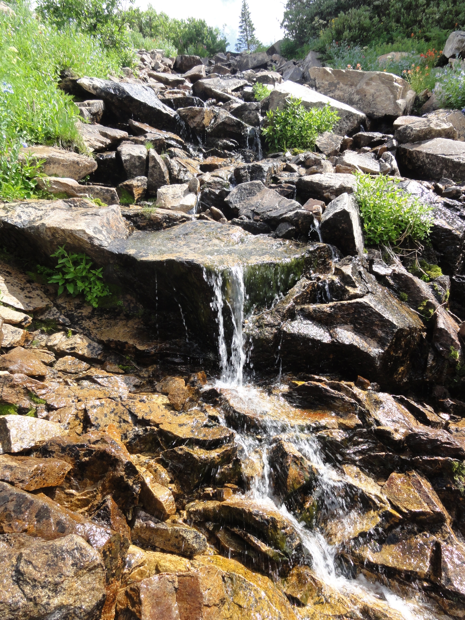 15 Lots of cascading creeks. |
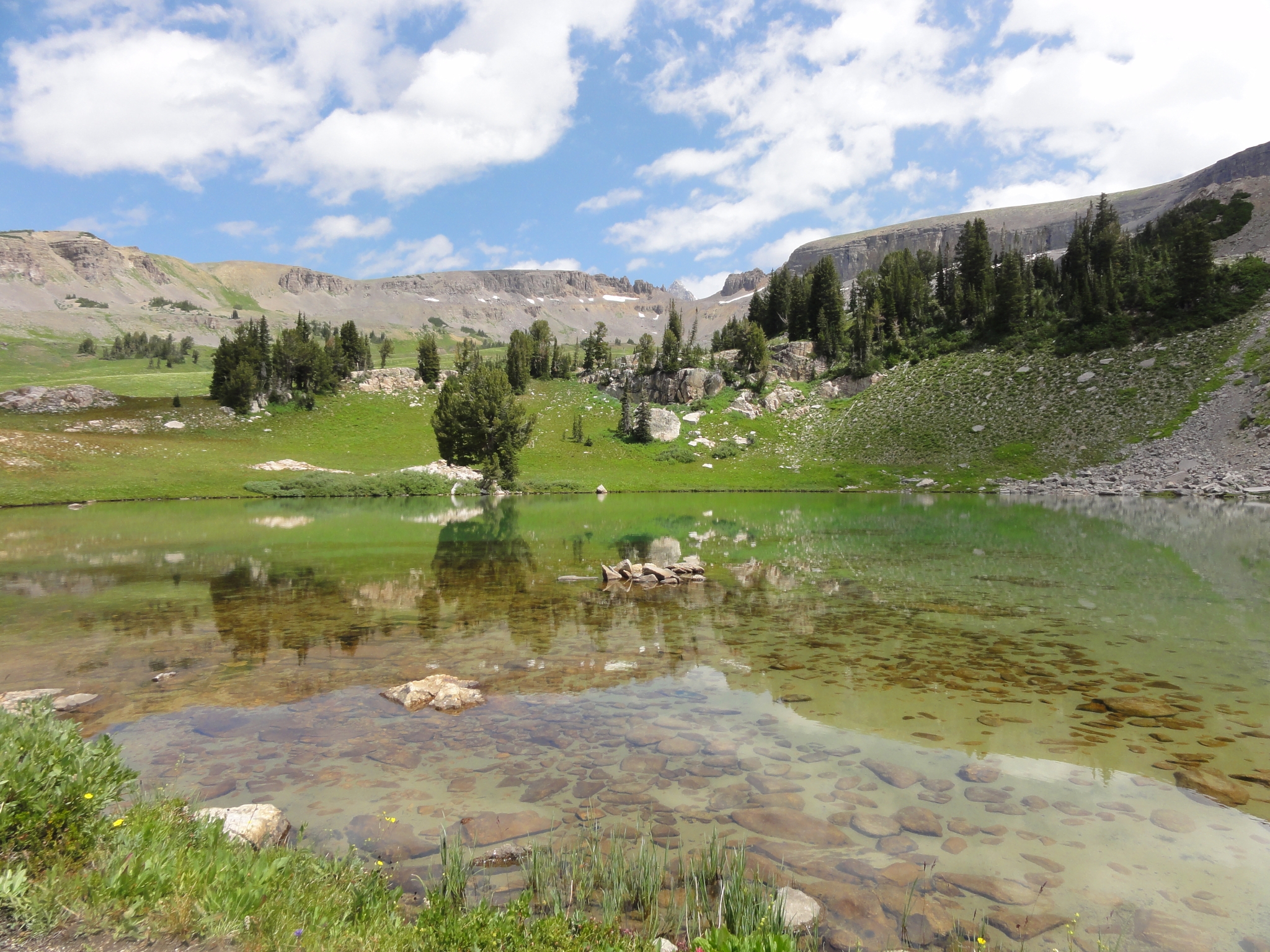
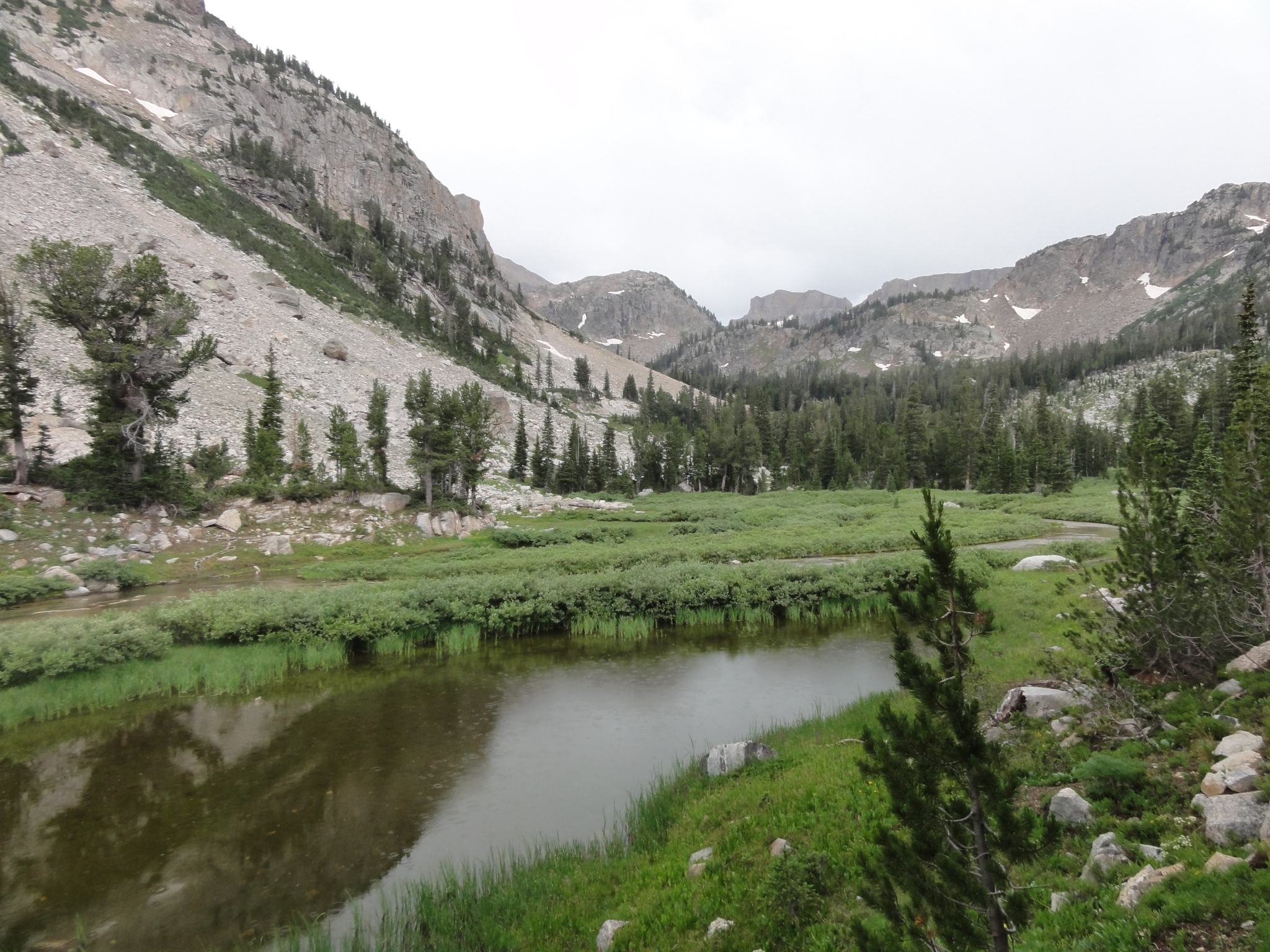
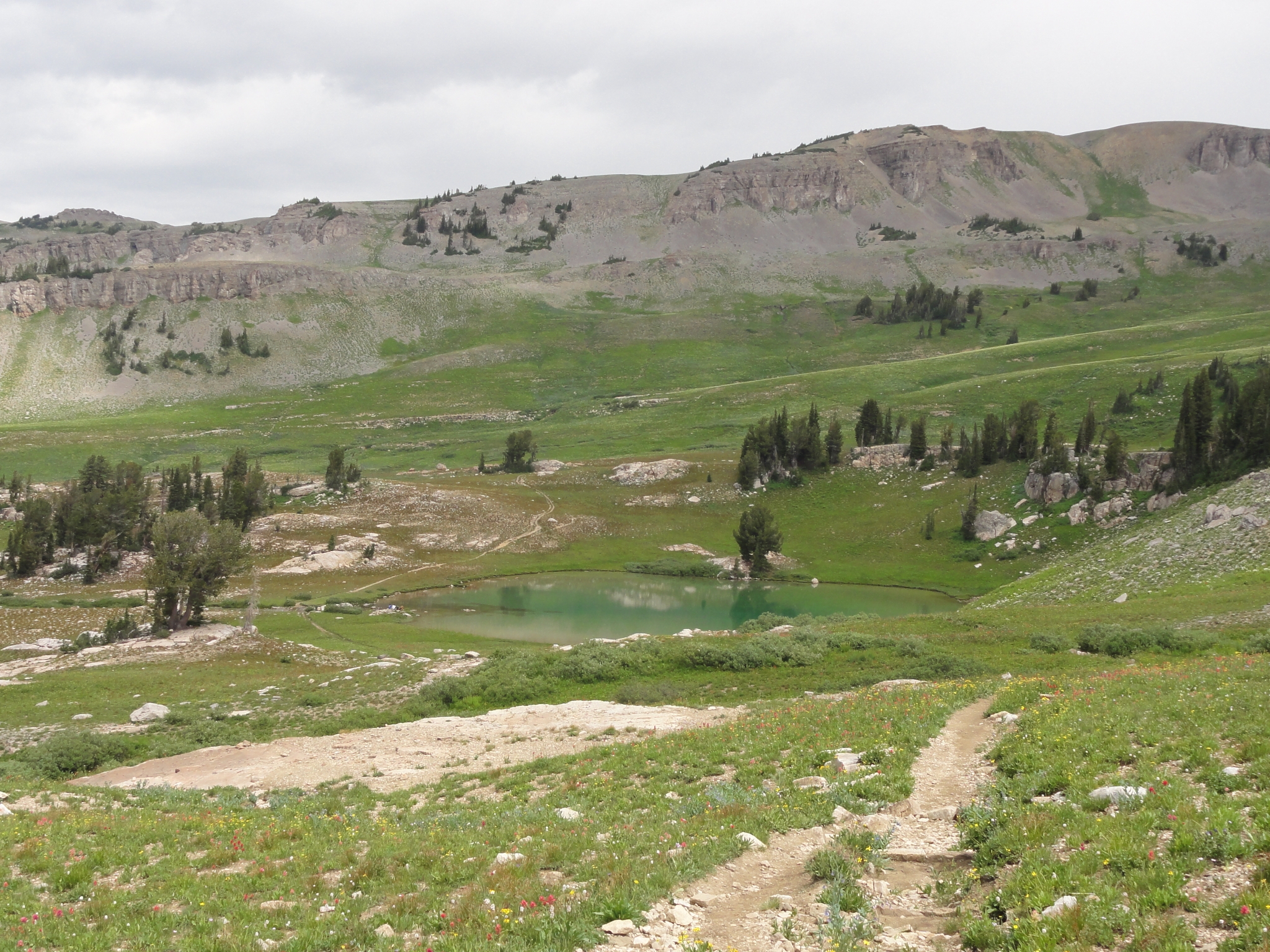 16 I reach the North rim of the Basin and get my first view of Sunset Lake. |
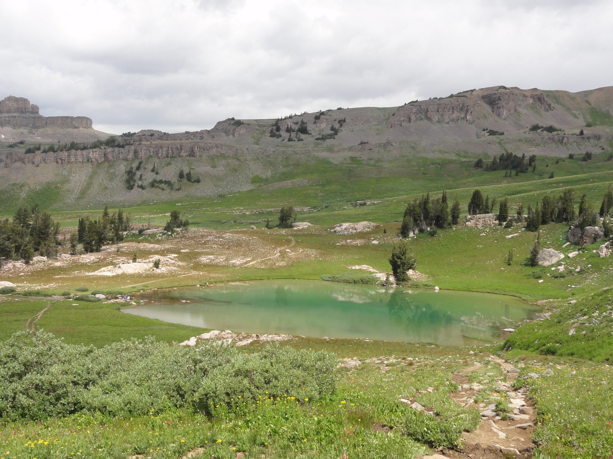 17 A closer view of Sunset Lake. |
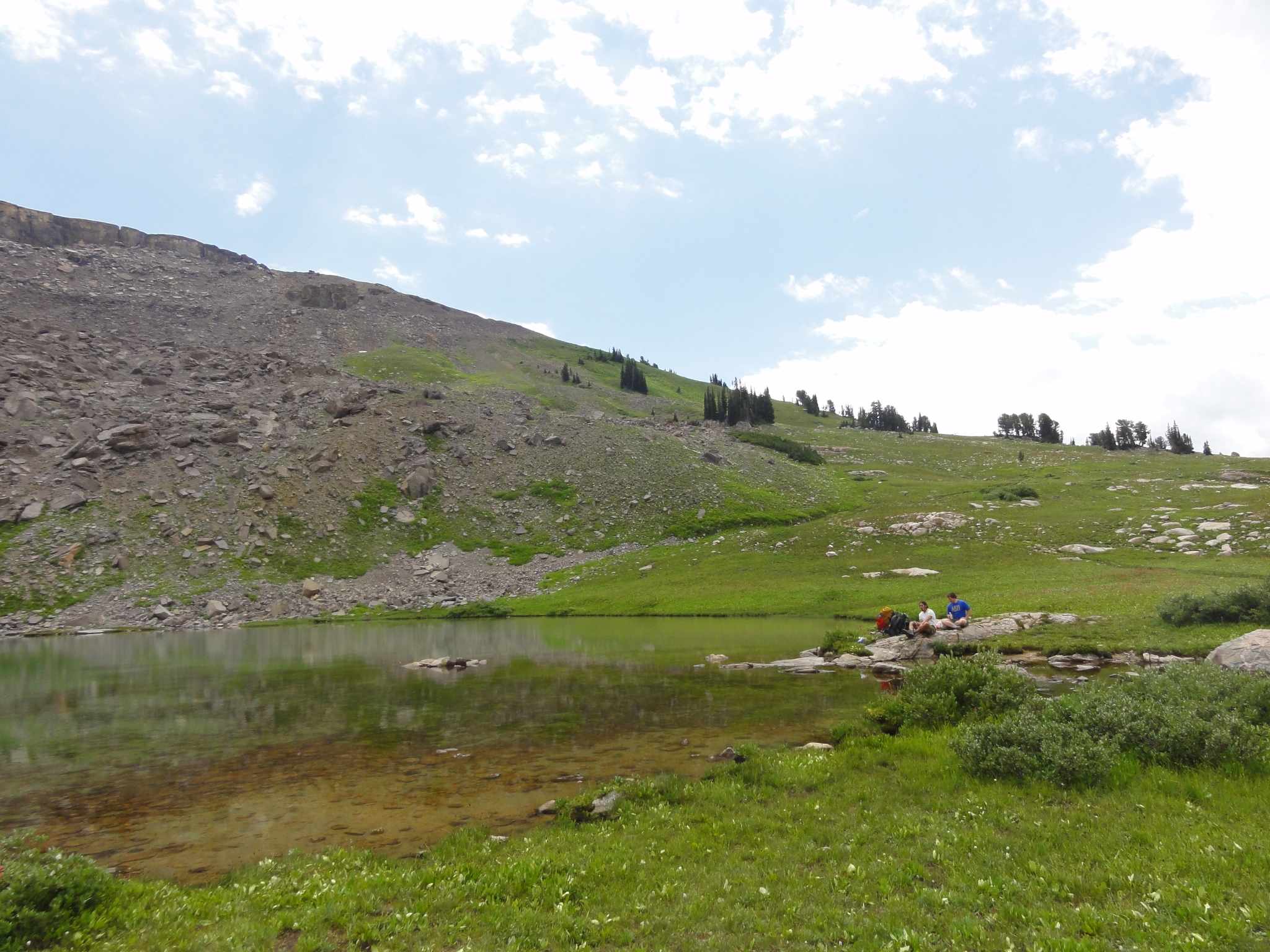
 18 Water leaving Sunset Lake and cascading over the edge of the plateau and into Alaska Basin. |
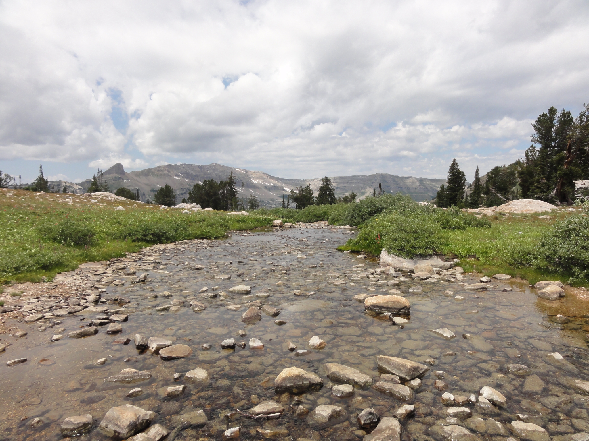
 19 Pretty much the only people I saw all day. I leap frogged back and forth with them a few times along the trail. |
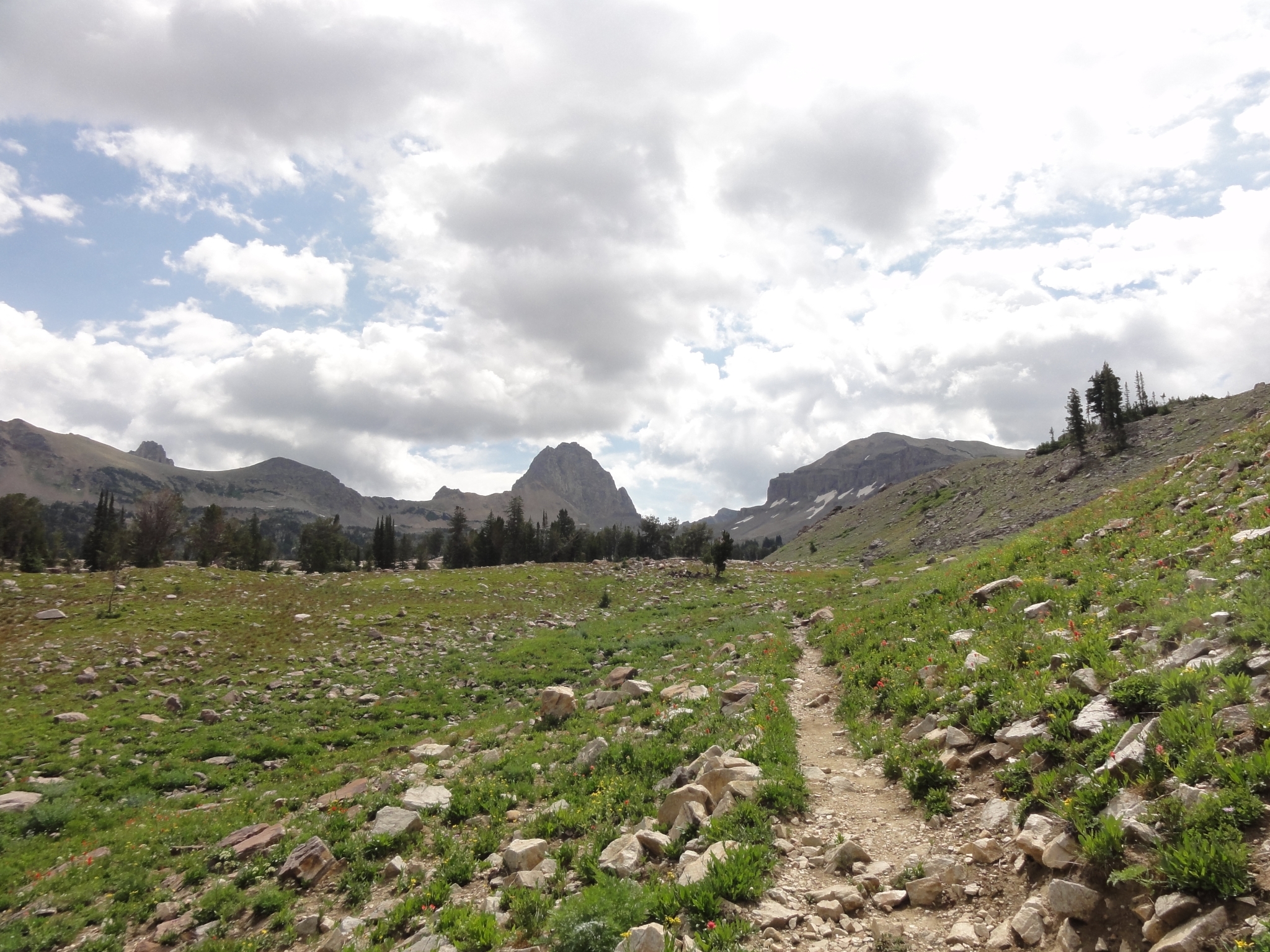
 20 Amazingly clear water. |
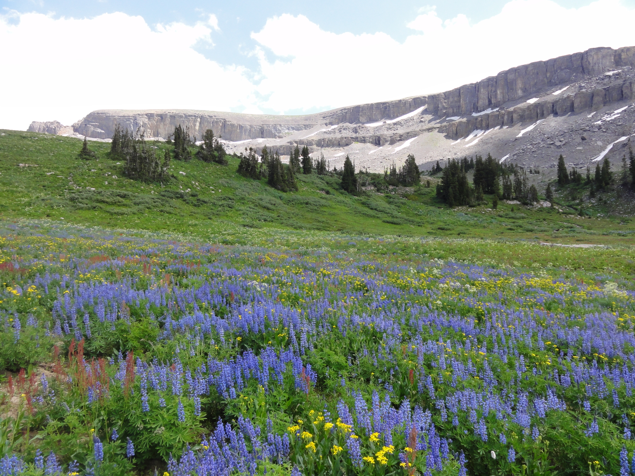
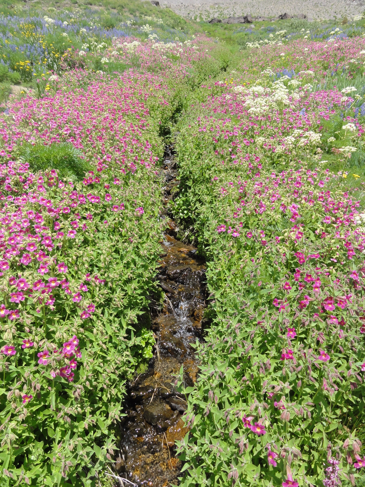
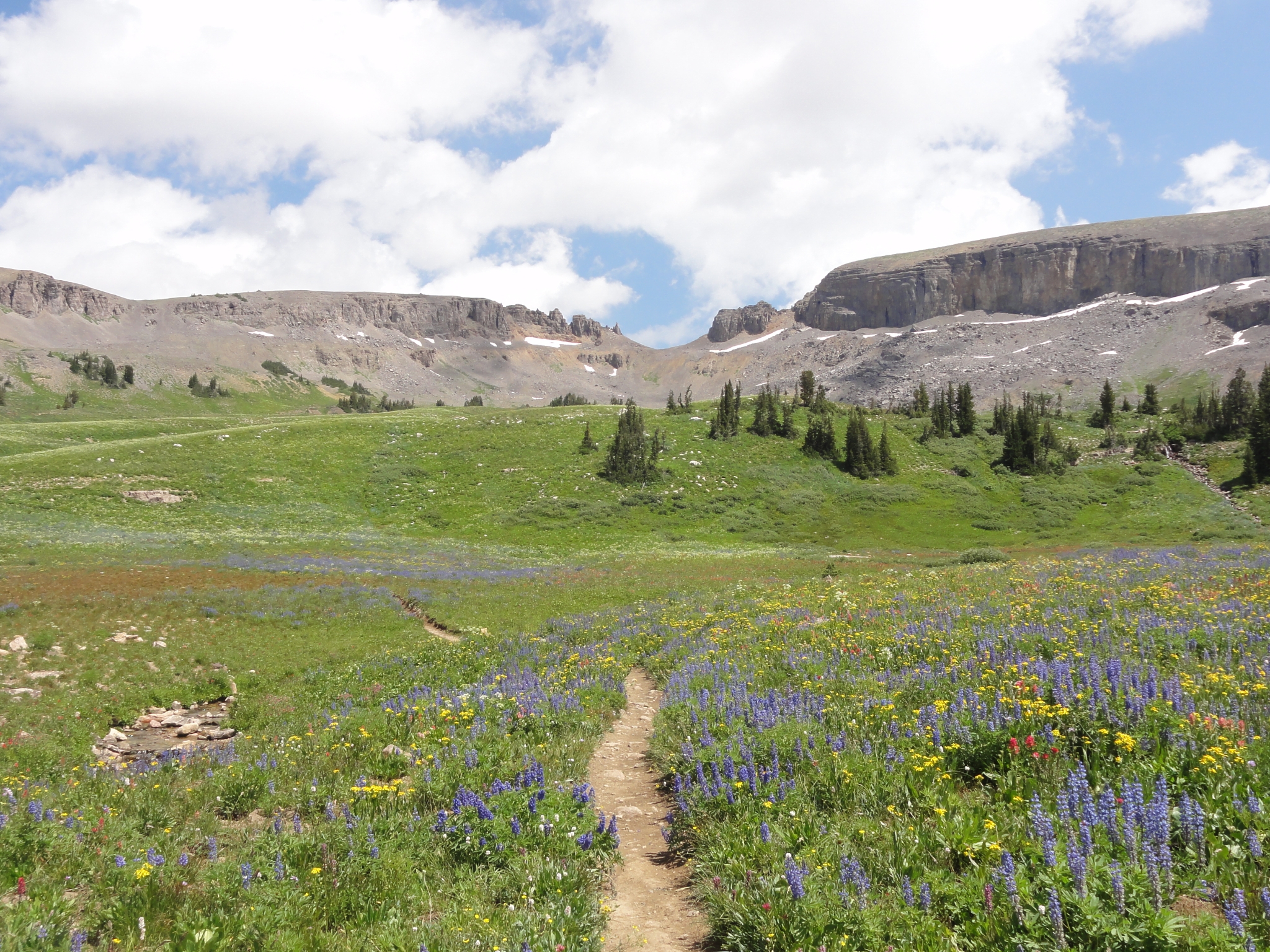 21 Leaving Sunset Lake and heading towards Hurricane Pass (the U-shaped notch in the distance). It's about a 1,000' climb. For those doing the shorter version of the TCT, this is the biggest climb of the trip. I opted for the longer version. |
 22 The wildflowers on this section of trail are just amazing. |
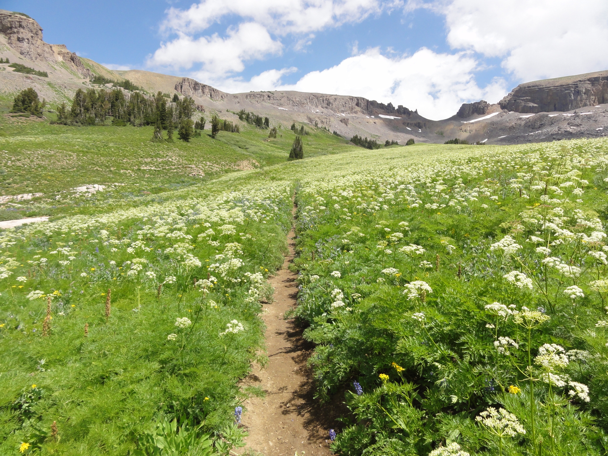 23 Single track cutting through the flowers. |
 24 Expansive views everywhere. |
 25 A creek cutting through a flower bed. |
 26 A last look back down at Sunset Lake. |
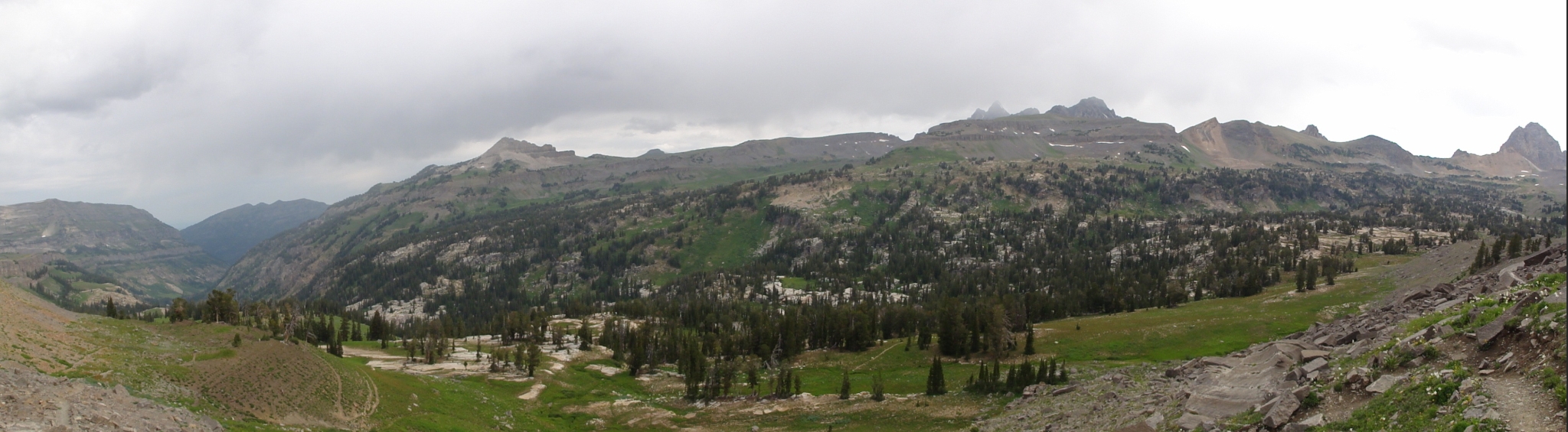
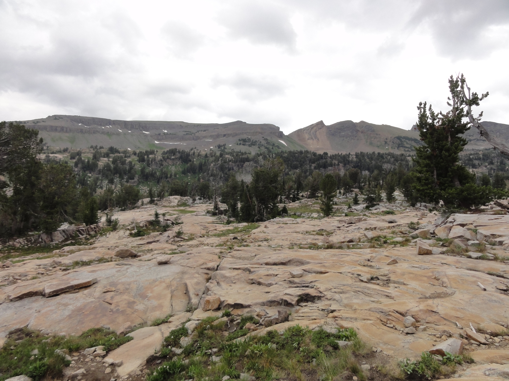
27 A final panorama view of Alaska Basin and the Sunset Lake plateau. |
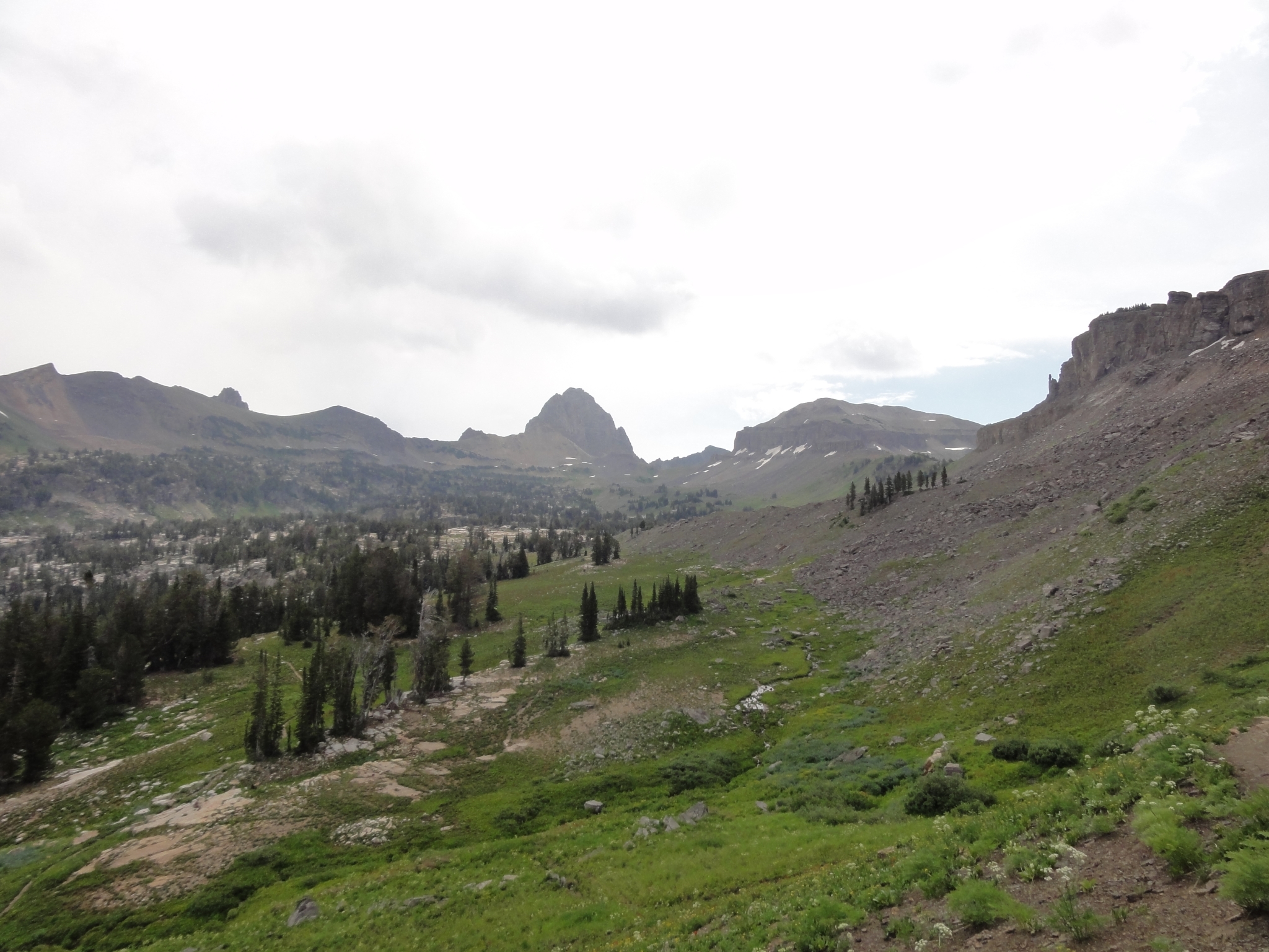
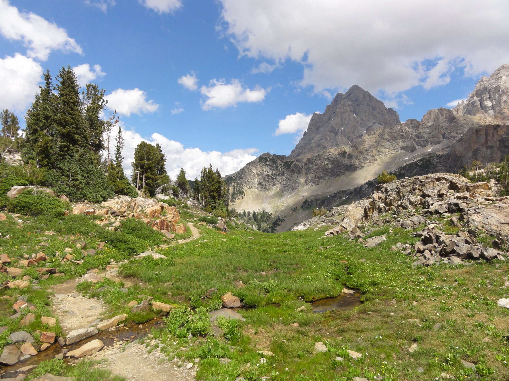
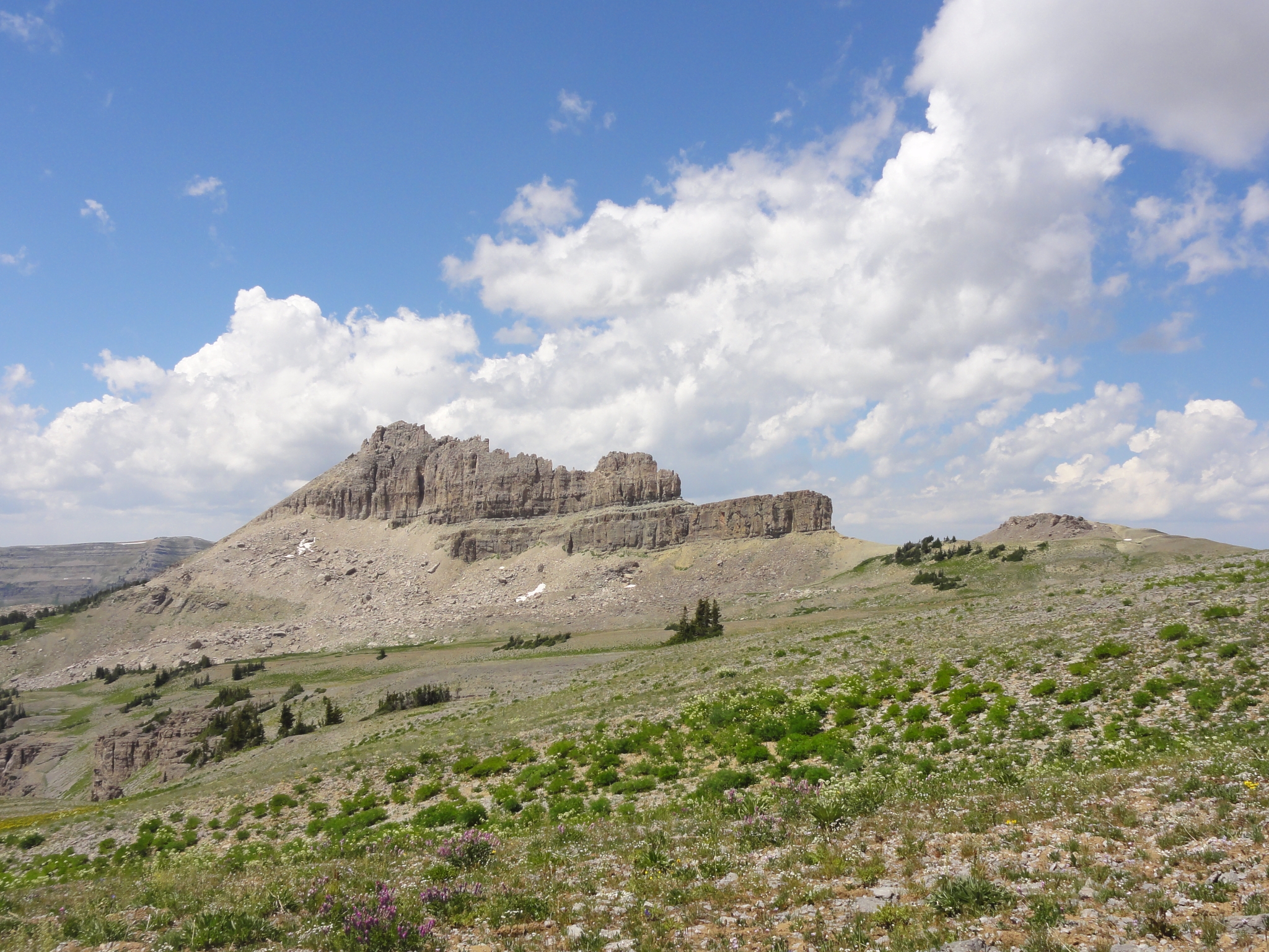 28 More interesting rock formations. |
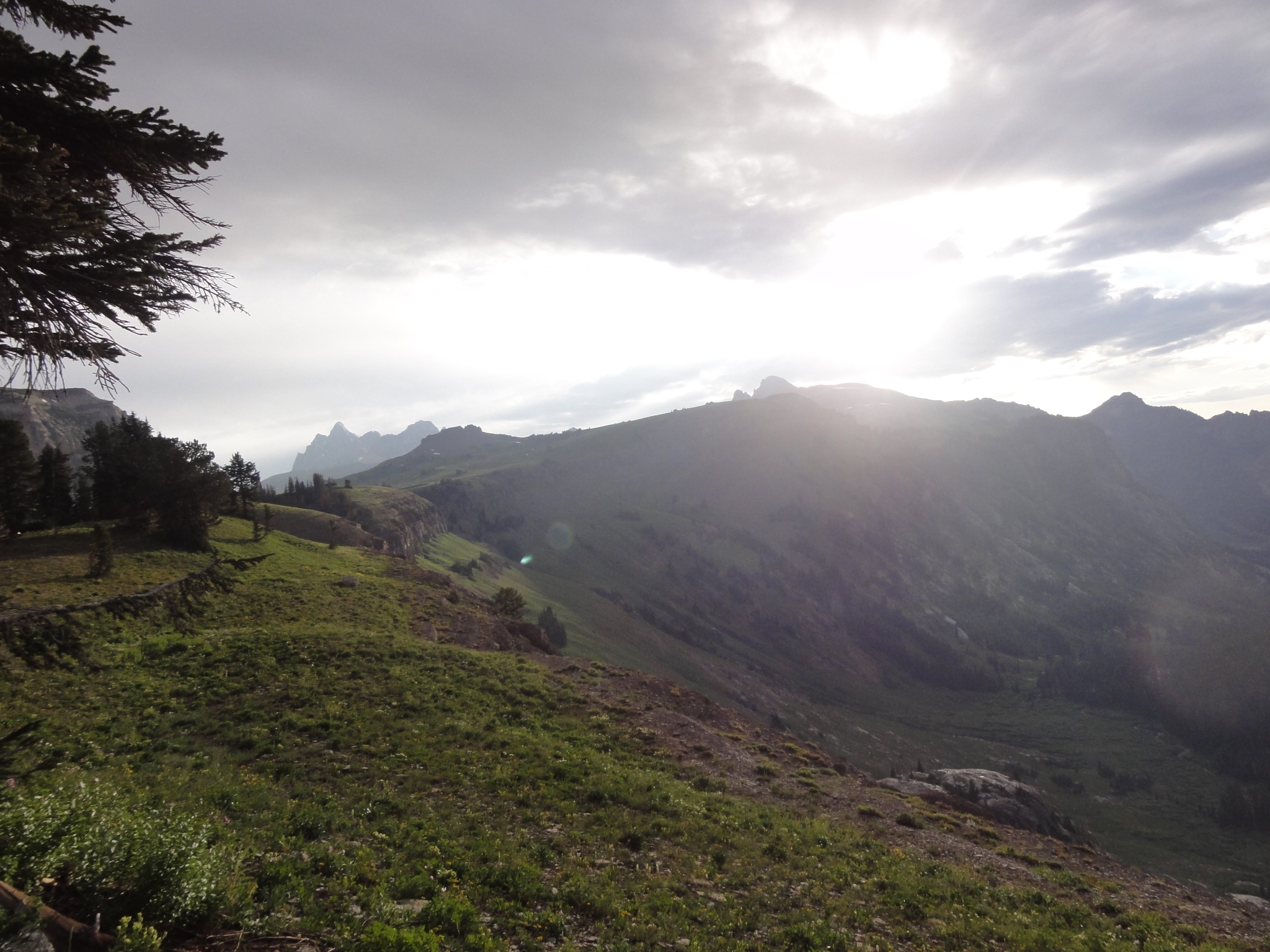
 29 Now almost right alongside the Grand Teton, which seemed so far away yesterday. |
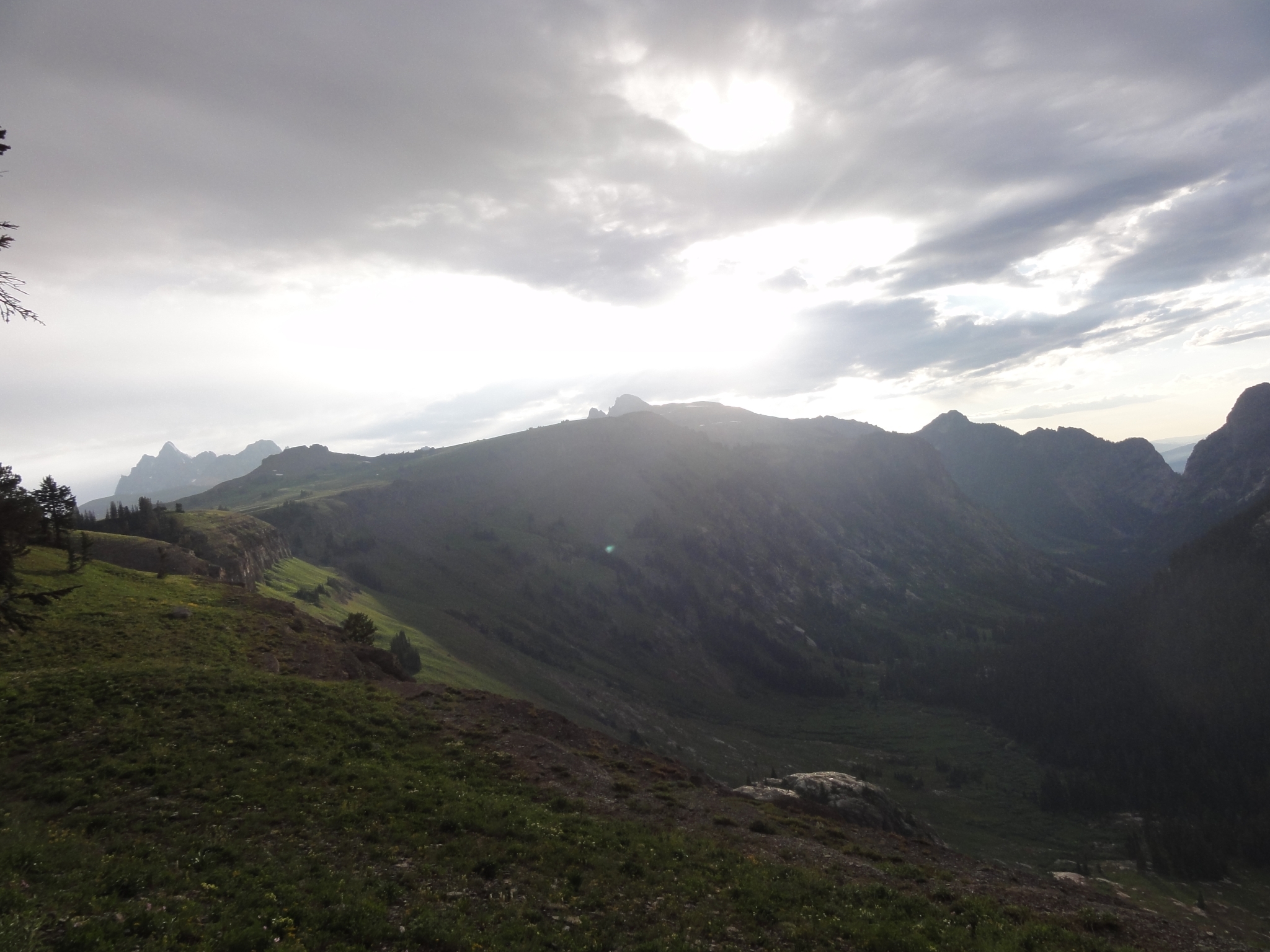
 30 Back into GTNP for the remainder of the trip, and now almost to Hurricane Pass. |
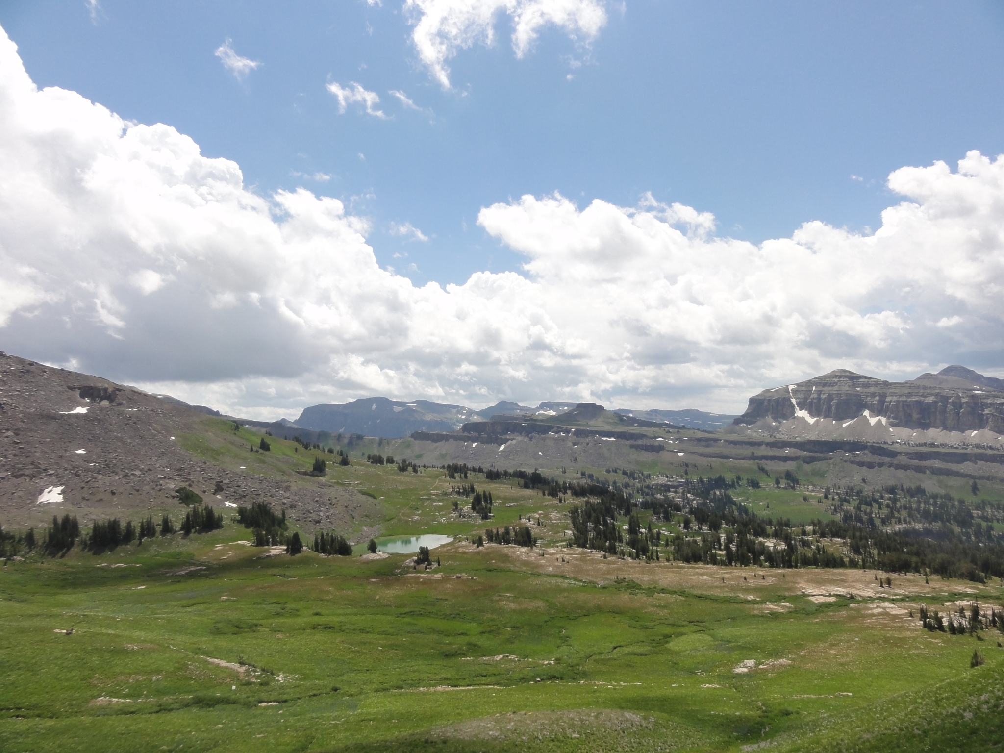
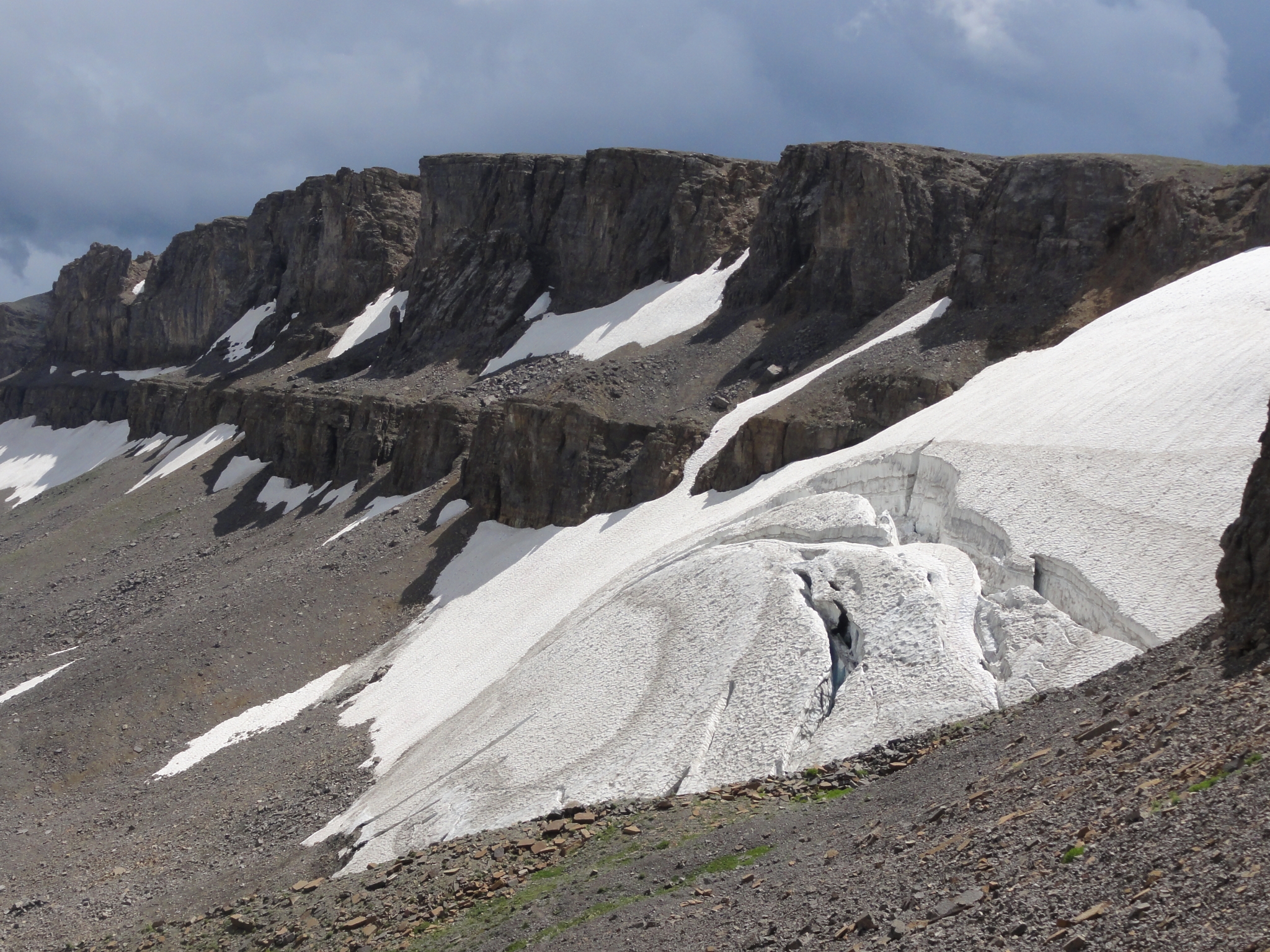
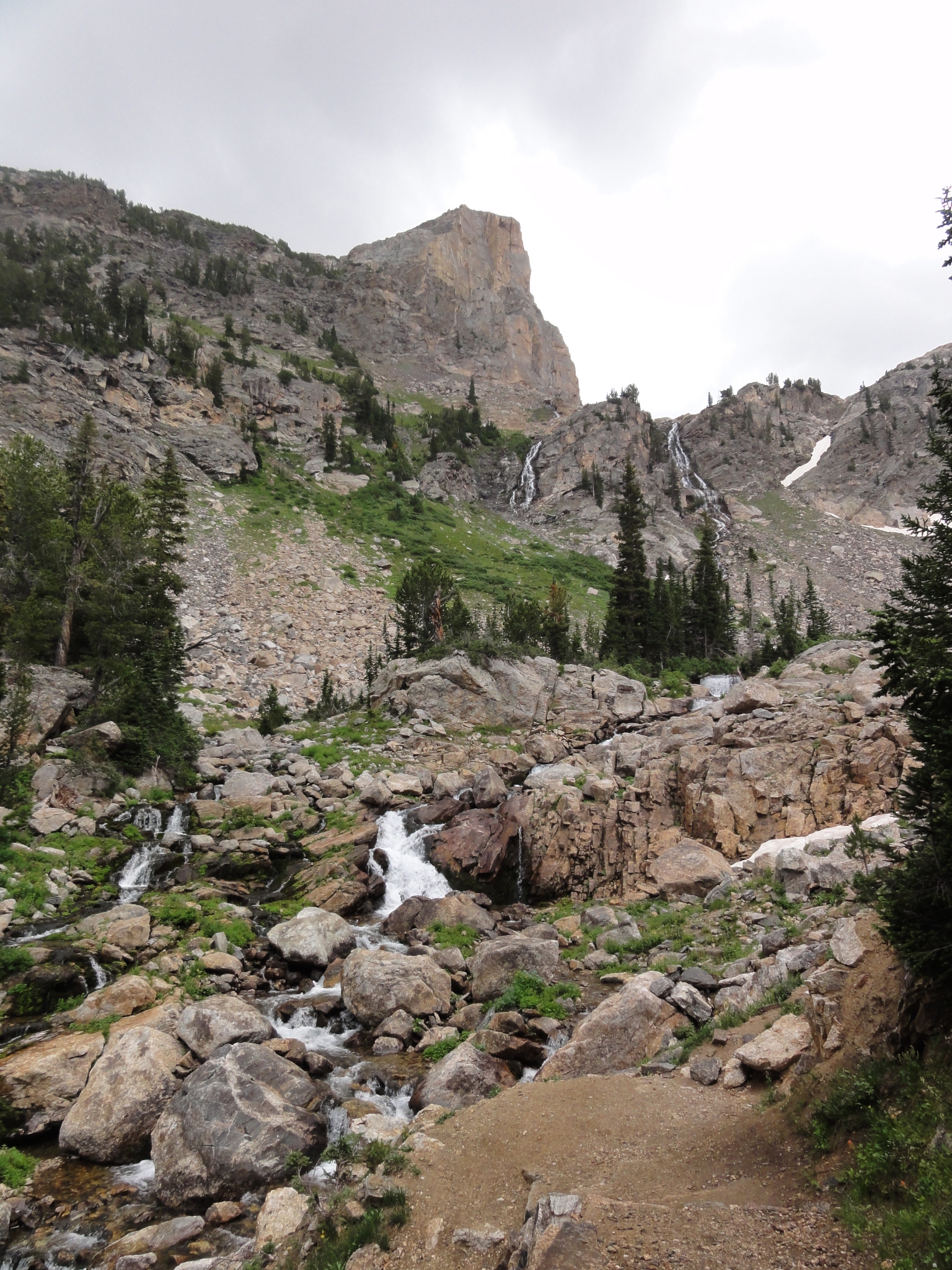
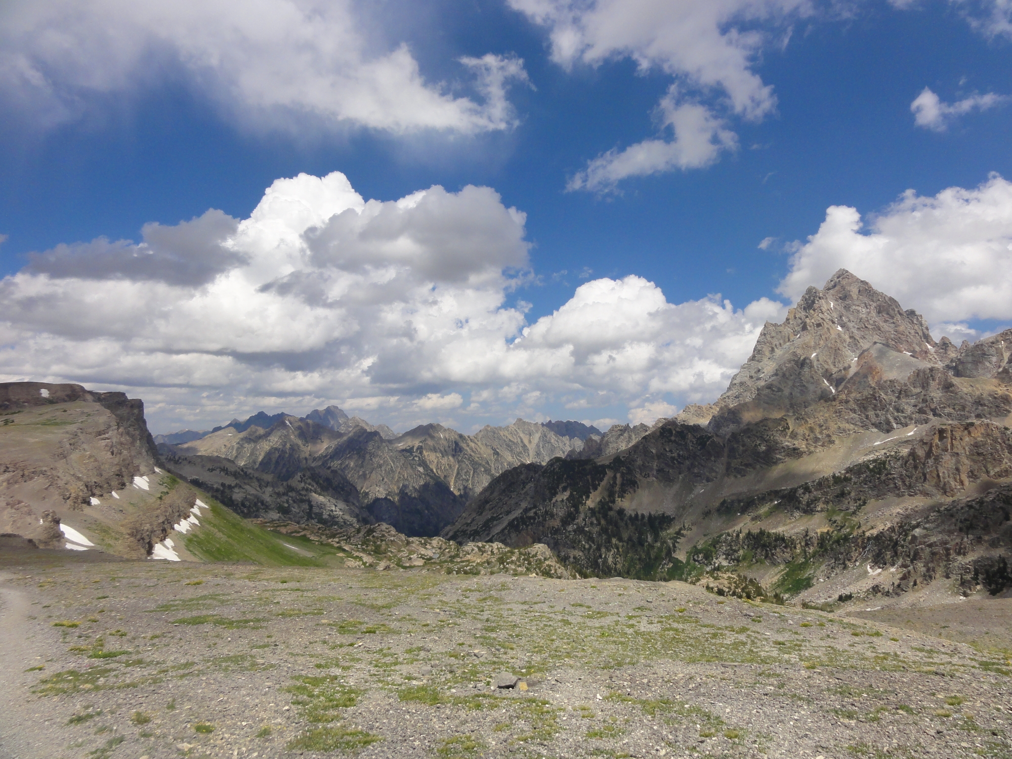 31 Hurricase Pass at 10,400'. The pass is aptly named as the wind here is howling. Another afternoon thunderstorm looks like it's starting to roll in, and I'm glad to be up and over the pass before it hits. |
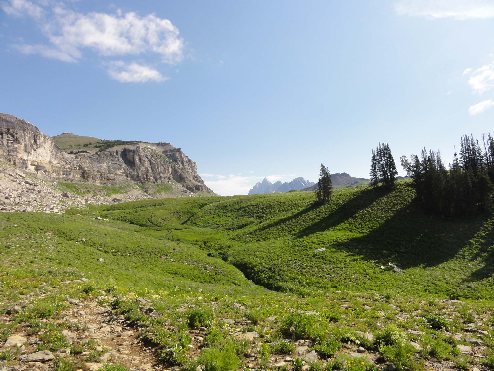
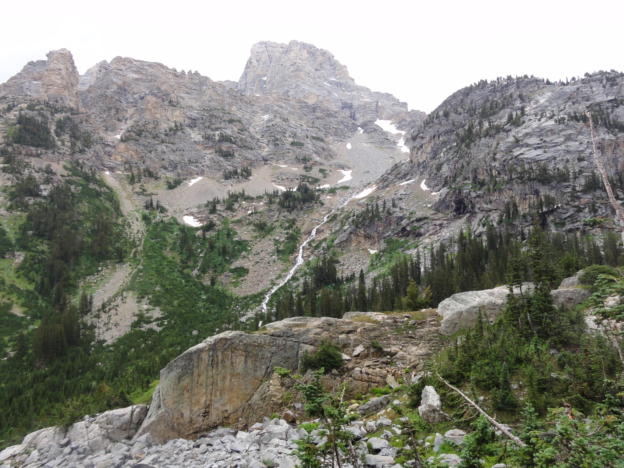
 32 The view from Hurricane Pass down into the end of the South fork of Cascade Canyon. |
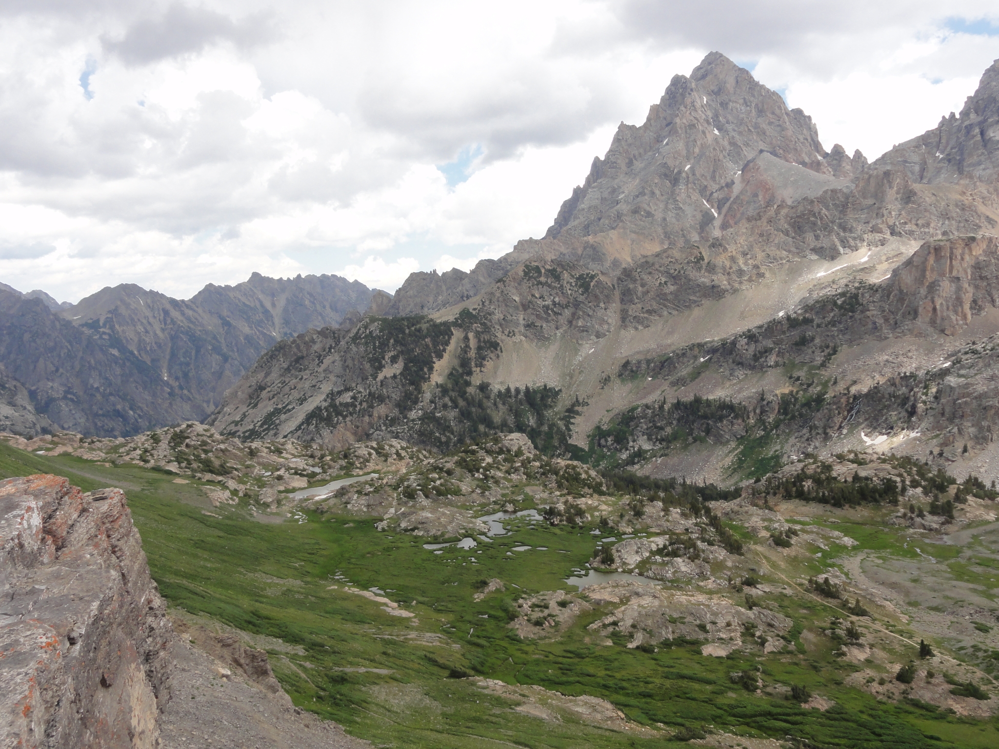 33 Possibly one of the most dissapointing pictures I have ever taken. This spot is very high on my all-time list of awe inspiring views. After climbing up to Hurricane Pass, it feels like shangri-la. A deep, green canyon with water cascading from the canyon walls into a patchwork of creeks, ponds, and small lakes. It feels like something out of Avatar. |
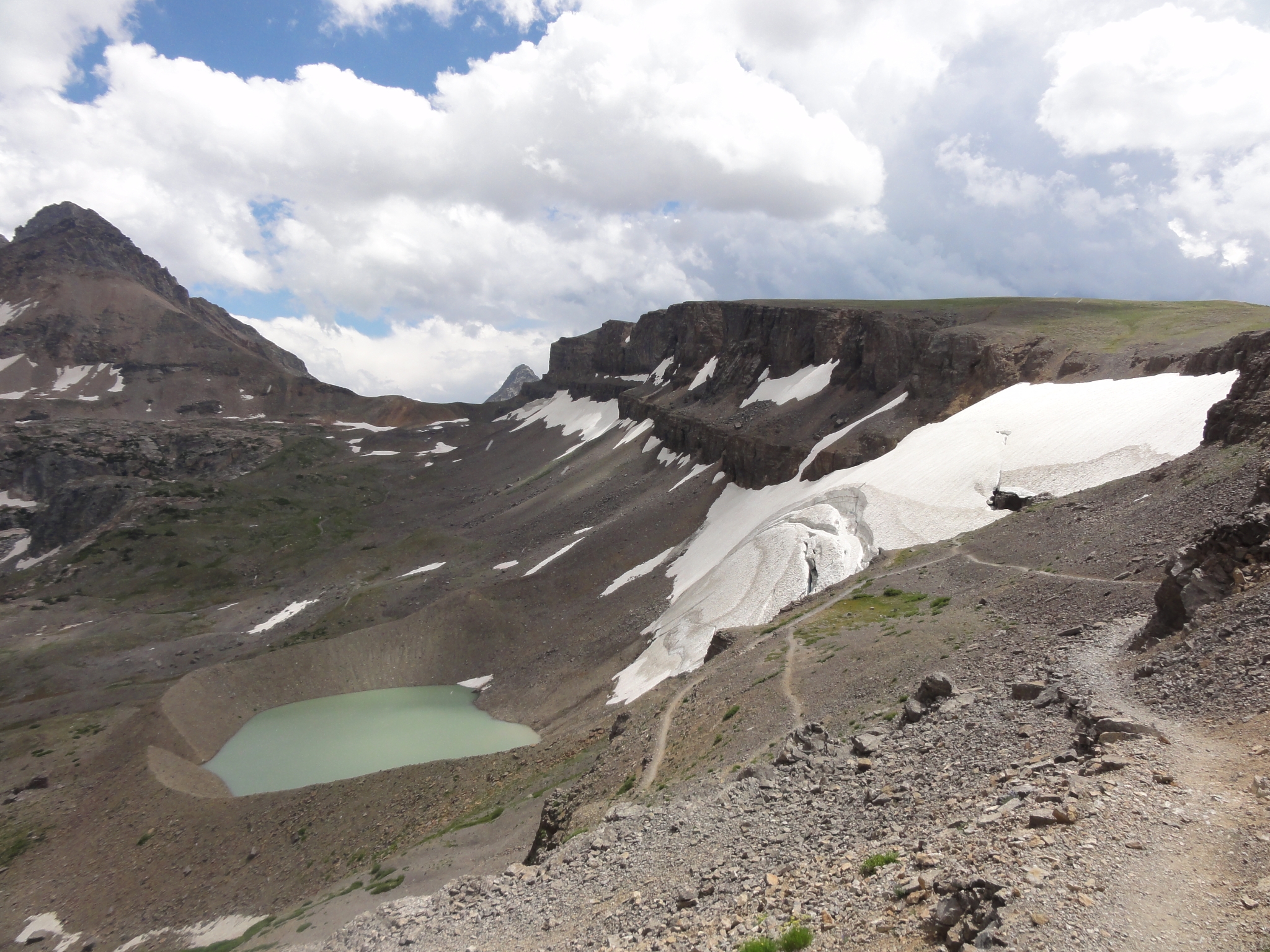 34 Heading down into Cascade Canyon. This is Schoolroom Glacier and the proglacial lake that has formed from its runoff. Notice the groove cut in the talus where the lake empties into the valley below. The glacier is named Schoolroom because it exhibits all the textbook signs of a glacier. Unfortunately, the glacier has been retreating for years and is expected to be entirely gone by 2030. |
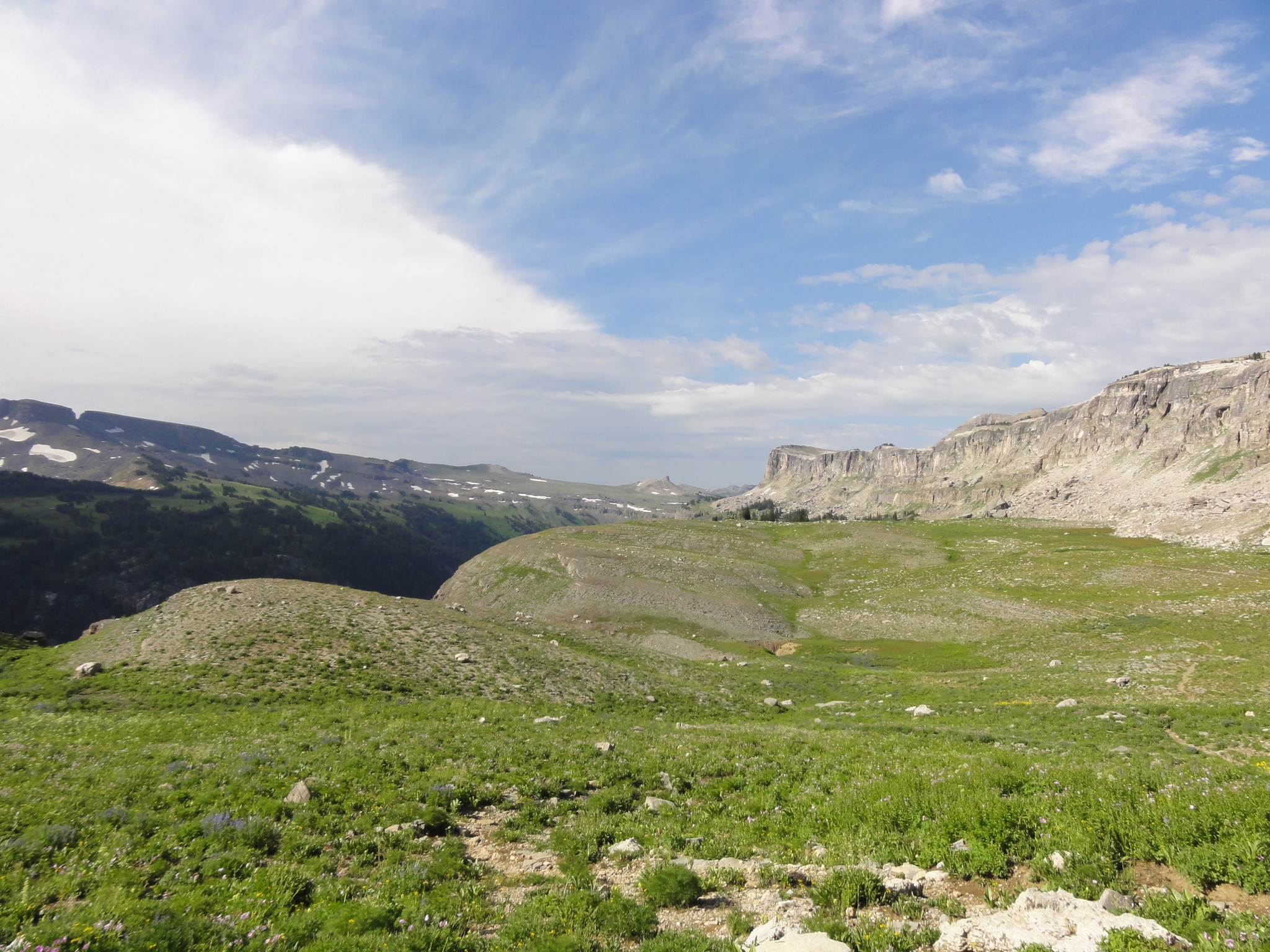
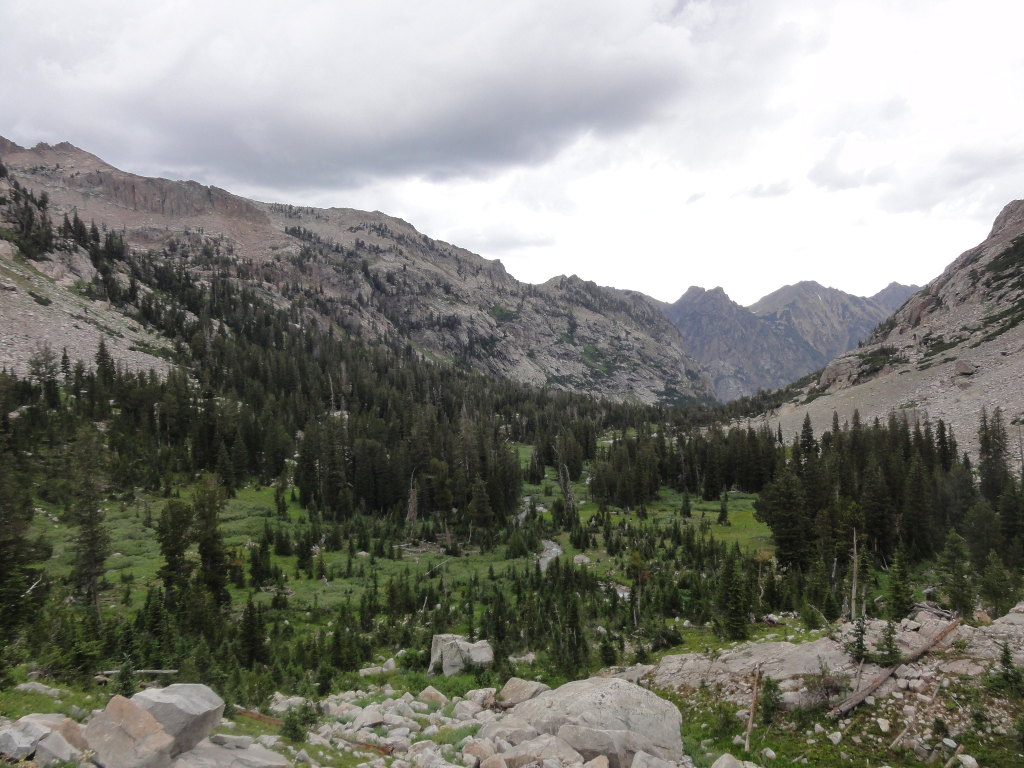
 35 A closer look at the glacier. I took a small detour to actually walk out onto it. I can now say that I have stood on a glacier! |
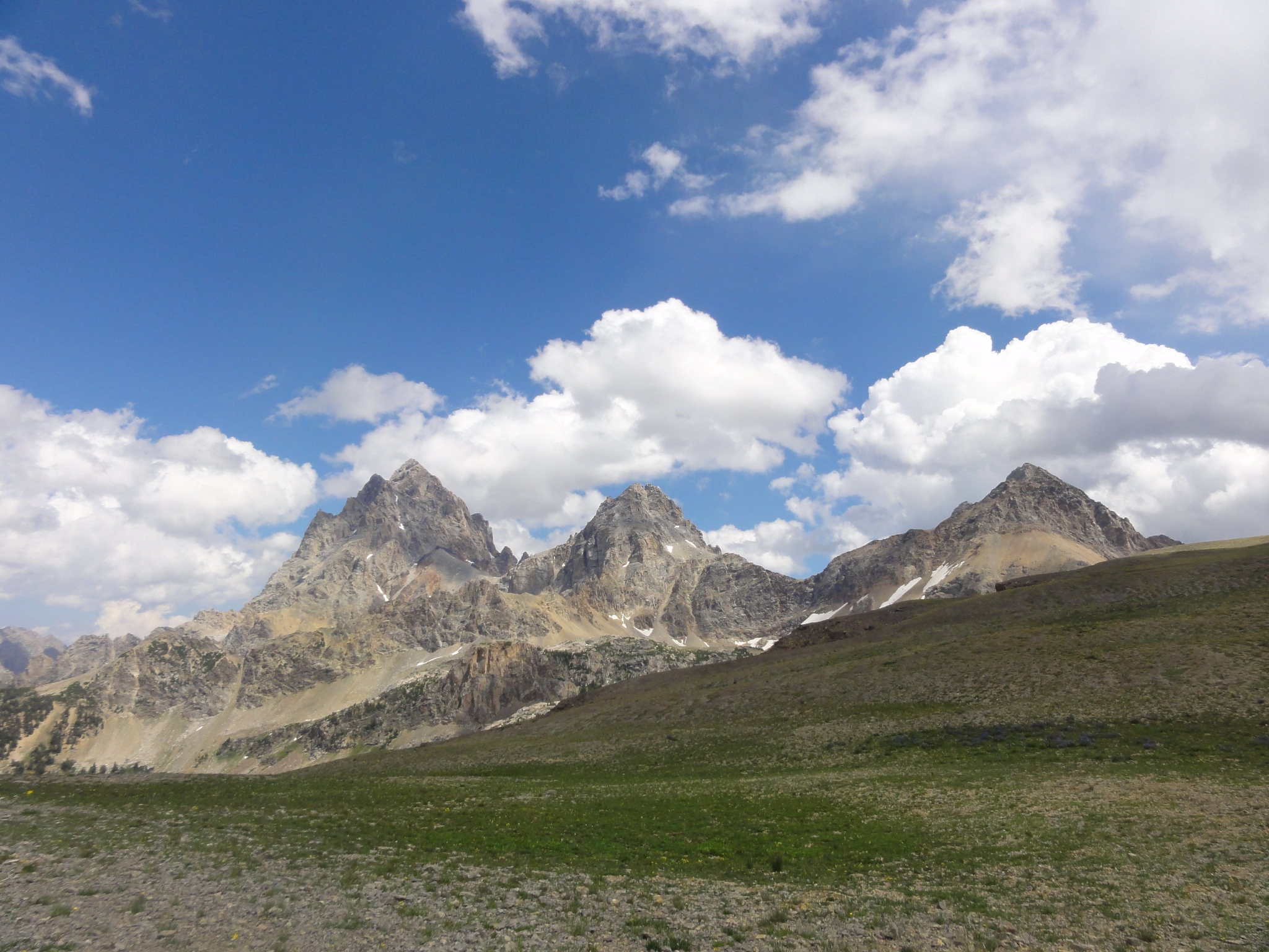
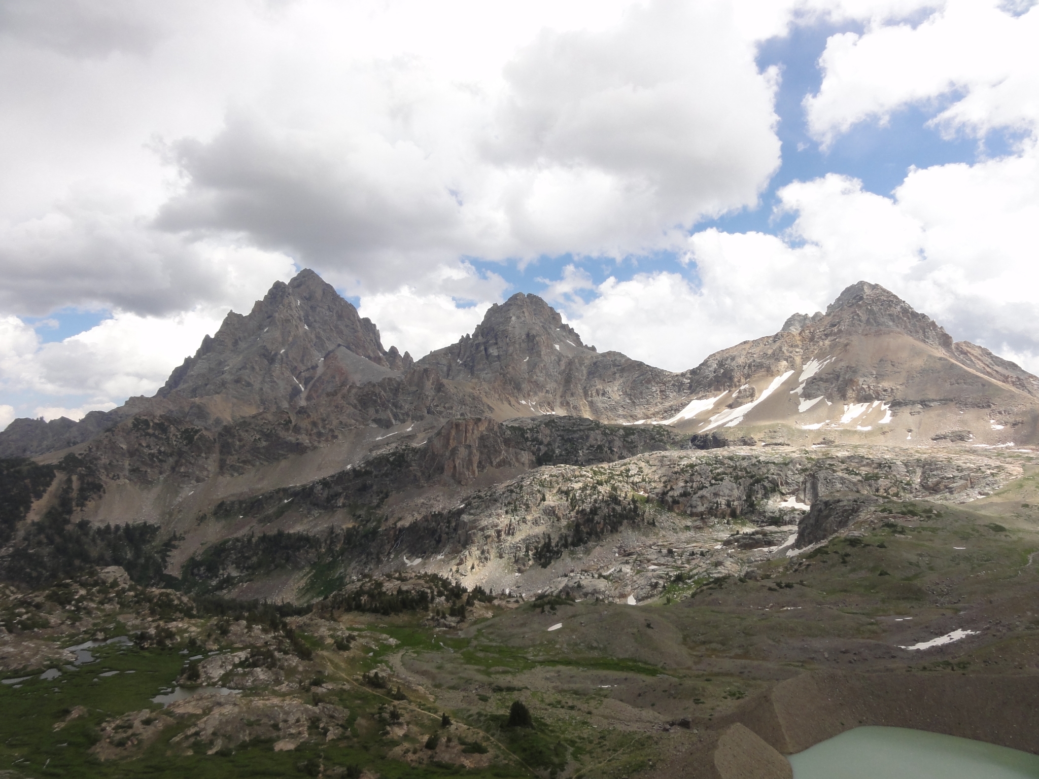
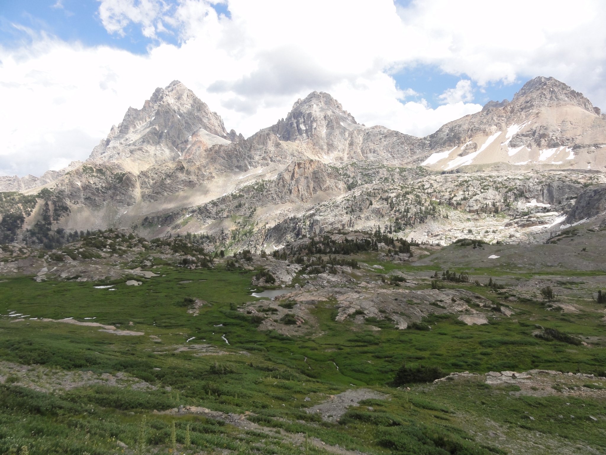
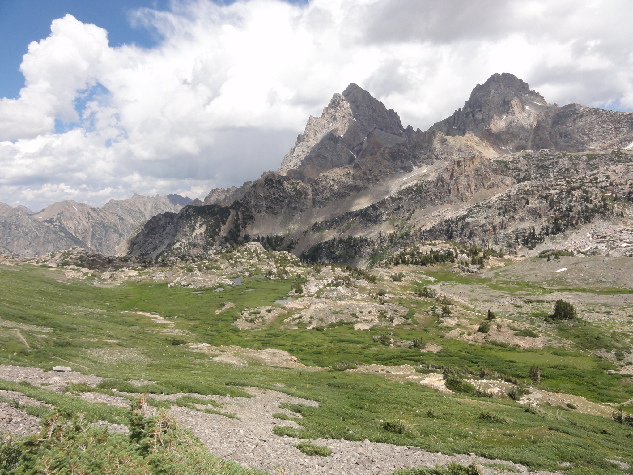 36 Further down into the canyon. The canyon actually drops in a series of huge steps down to the branch with the North fork of Cascade Canyon. |
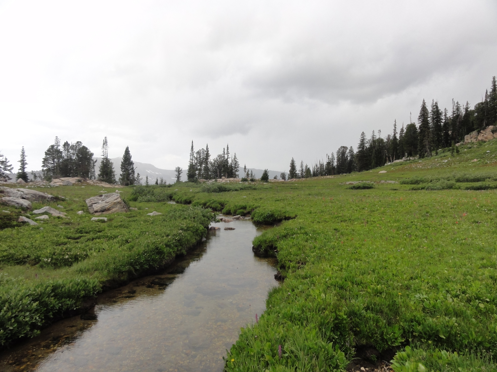
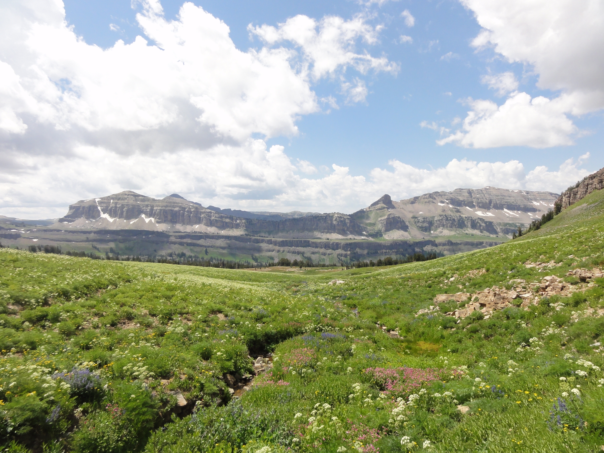
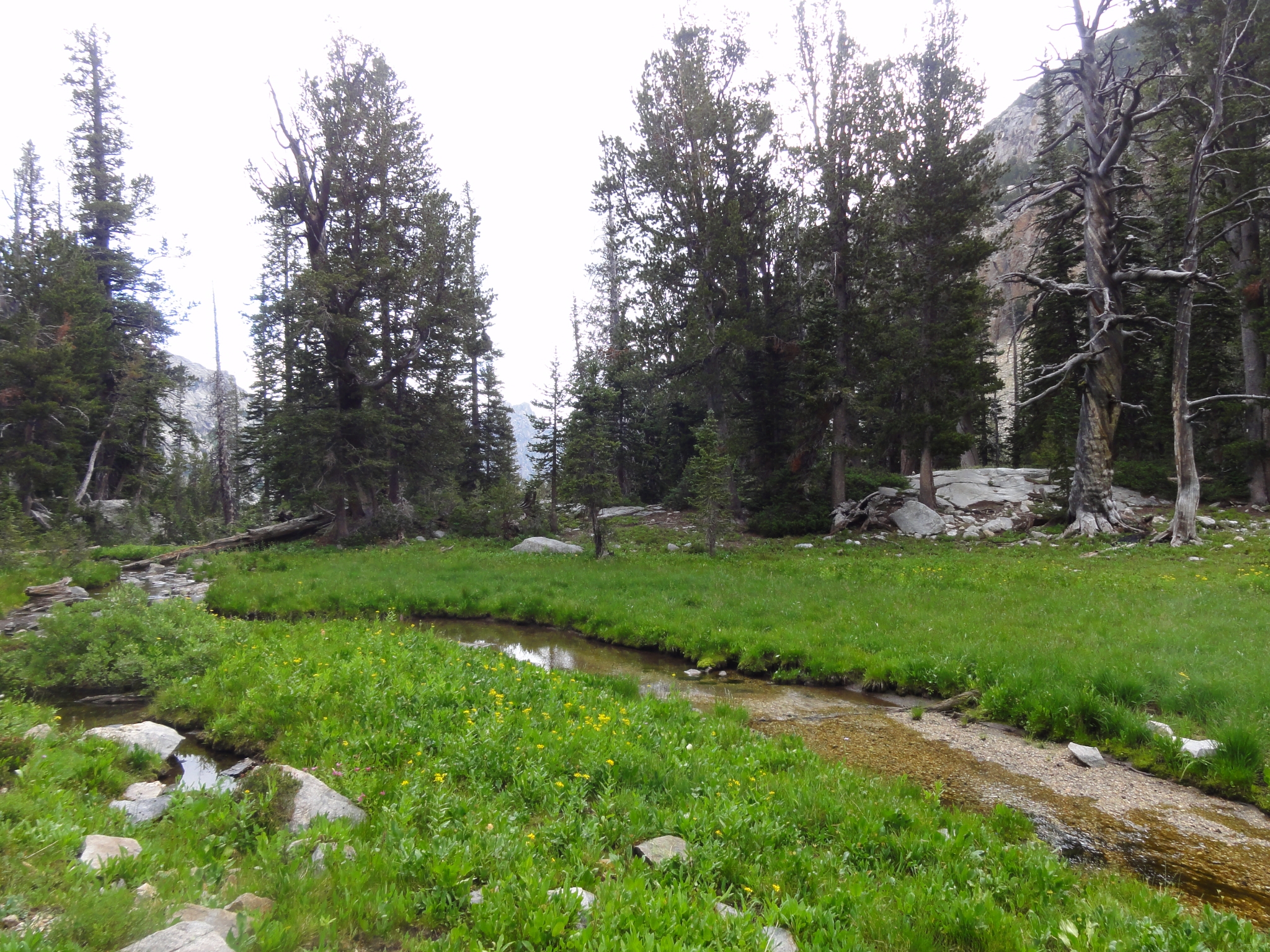
 37 Almost to the bottom. I believe the peaks here are the Grand, Middle, and South Tetons. |
 38 Back into green terrain and water everywhere. |
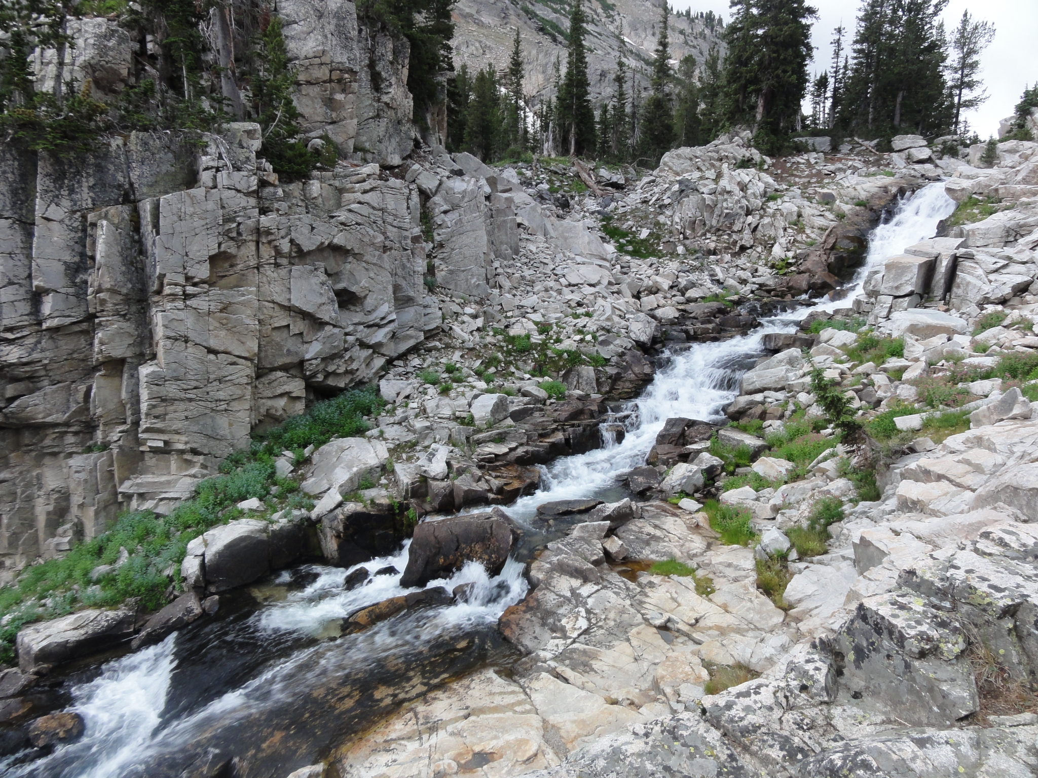
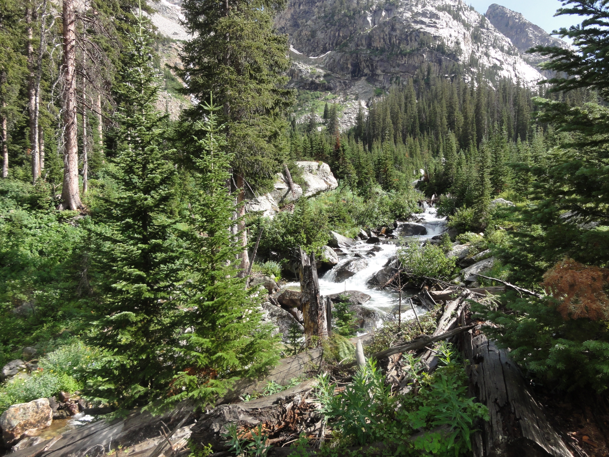
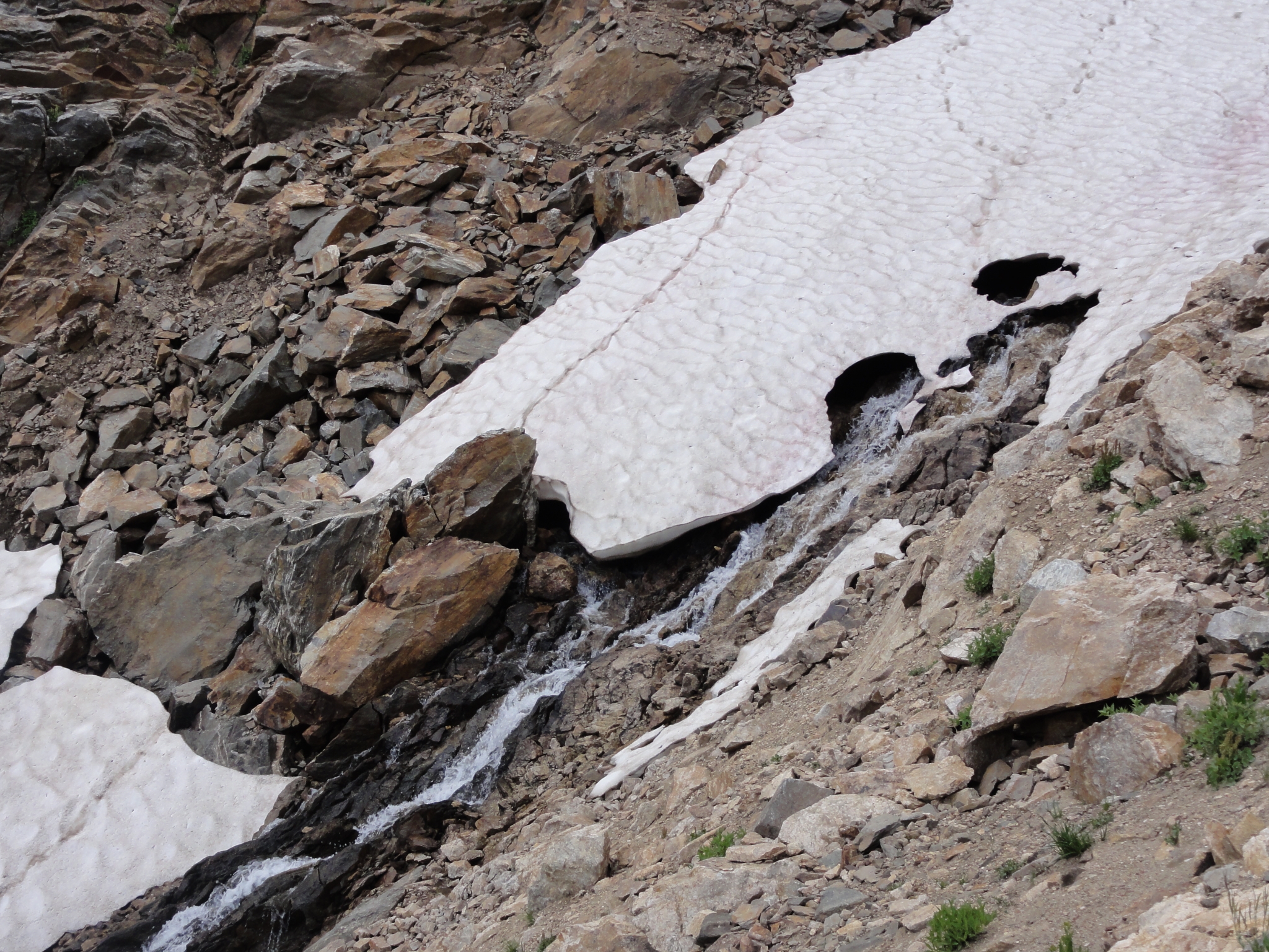 39 Creeks start out of nowhere from within a snow field and then collect into large streams cascading down the aptly named Cascade Canyon. |
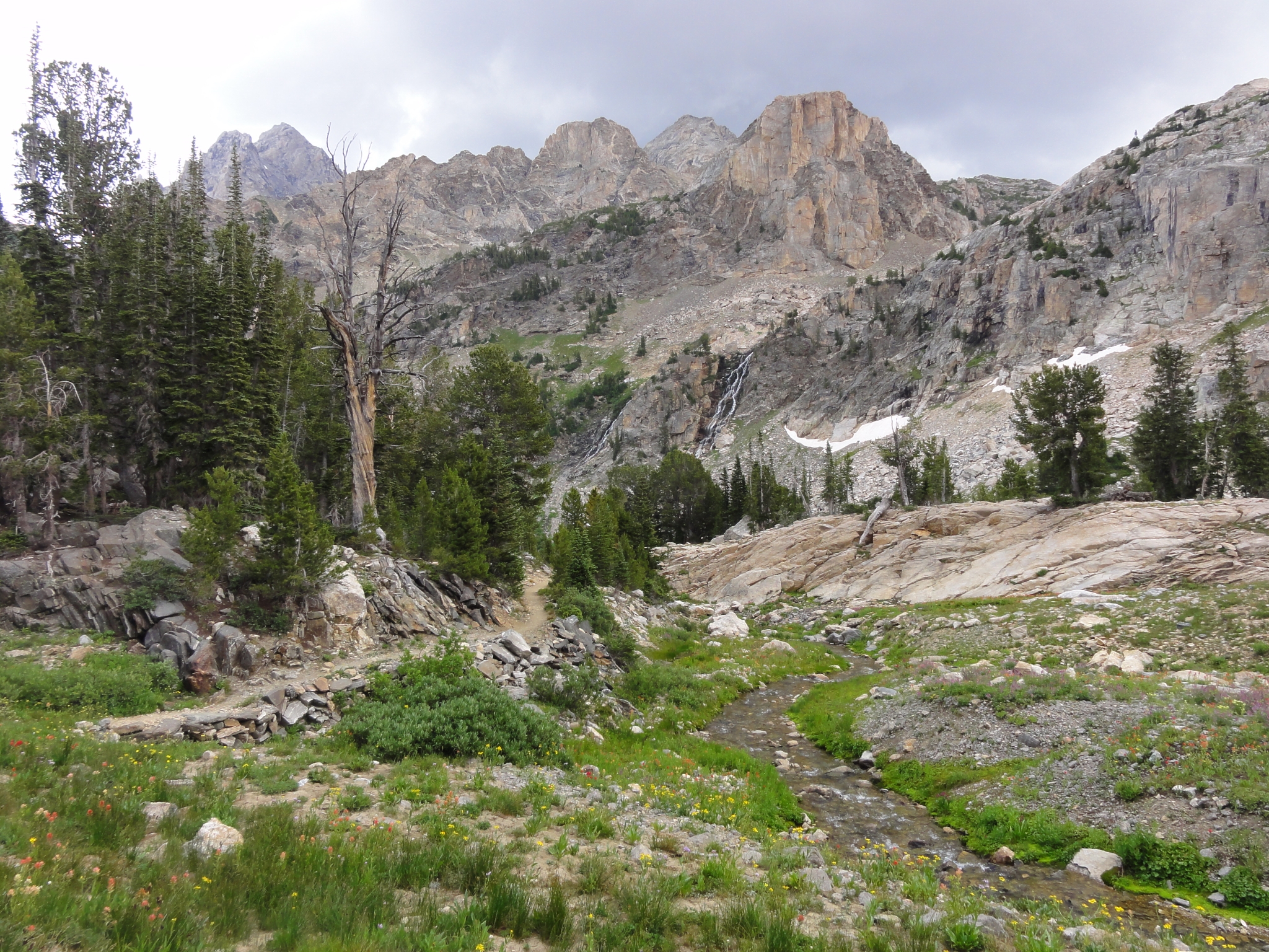 40 First view of the big cascades running down the East wall of the canyon. The roar of the cascades fills the entire canyon. |
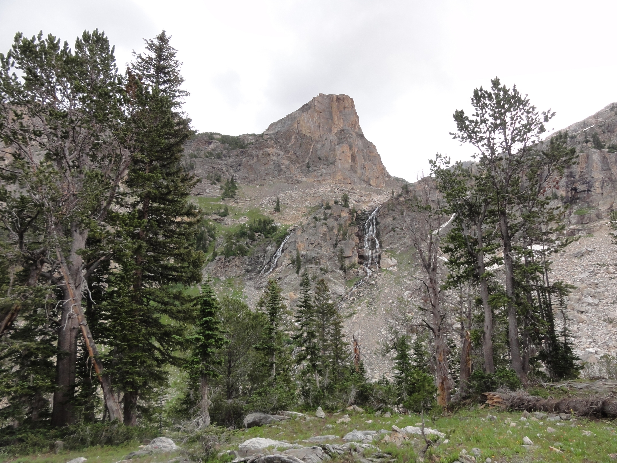 41 A closer look at the cascades. |
 42 A look at the cascades falling over 1,000' down in several stages to the bottom of the valley. This would be a worthy hike destination in a lot of places, but it doesn't even show-up on the map here. |
 43 Cascade Canyon is definitely one of my favorite areas of the trail so far. |
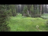
 44 Looking down into the next dropped section of the canyon. Each drop is almost 1,000' down. |
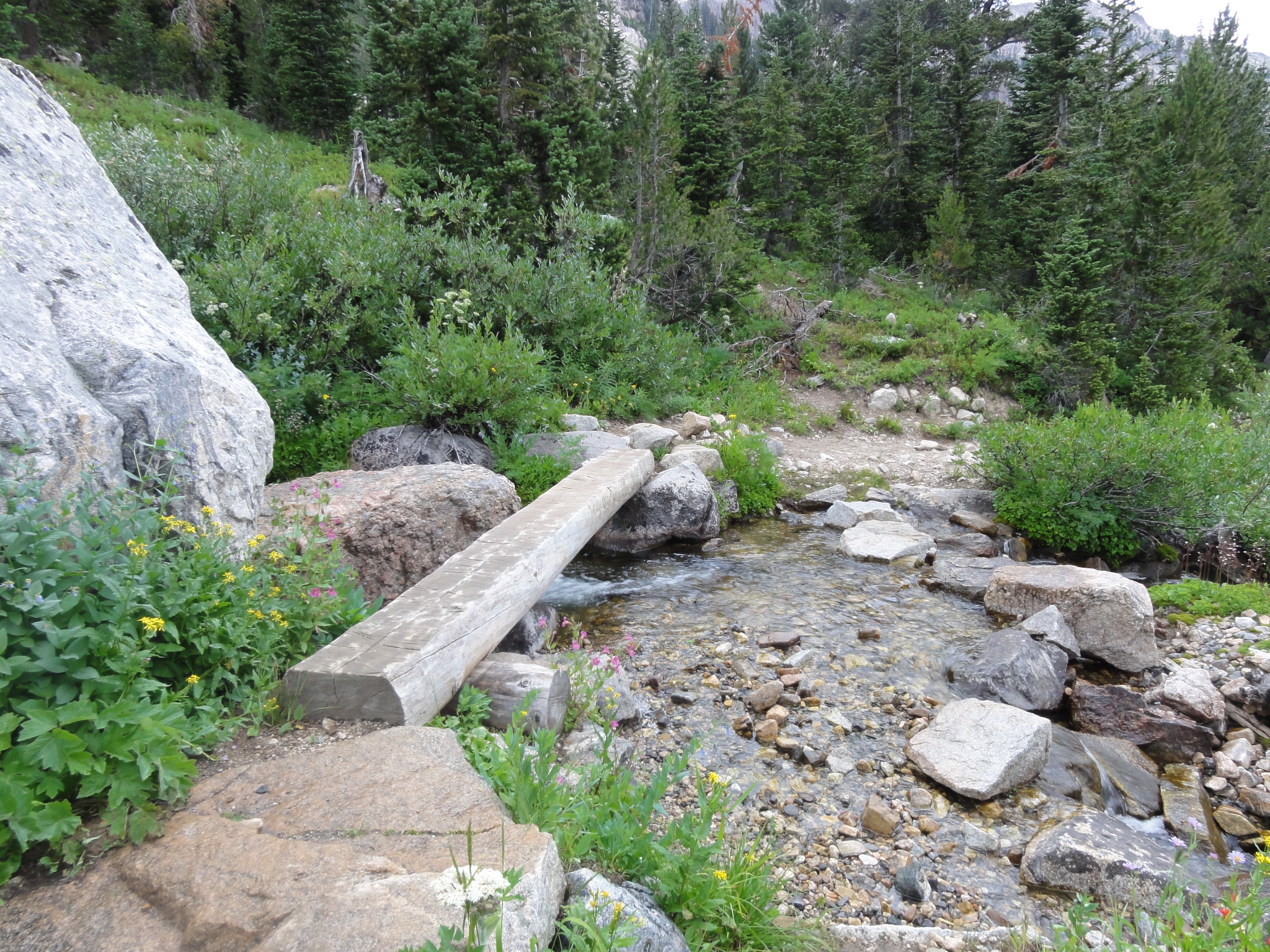 45 Water everywhere. By this time, I'm well into the South Fork Cascade camping zone. Unlike Death Canyon Shelf, this zone has marked sites, but there are only 14 sites in almost 5 miles. A few are grouped within a quarter mile or so of each other, while others are as much as a mile apart. |
 46 Green everywhere. Unfortunately though, it's starting to rain again. I really needed to get as far into the campzone as possible because the next day was the toughest by far of the four. So, the more mileage I could cut the better. |
 47 Green, water, and more rain. The rain is starting to get heavy. I was starting to pass many of the 14 sites in the zone, and really beginning to think I should pick one and call it a day. But most of them were so isolated from each other, I was worried about camping solo so far from any other human, particlarly with a big thunderstorm coming. |
 48 Another roaring cascade. |
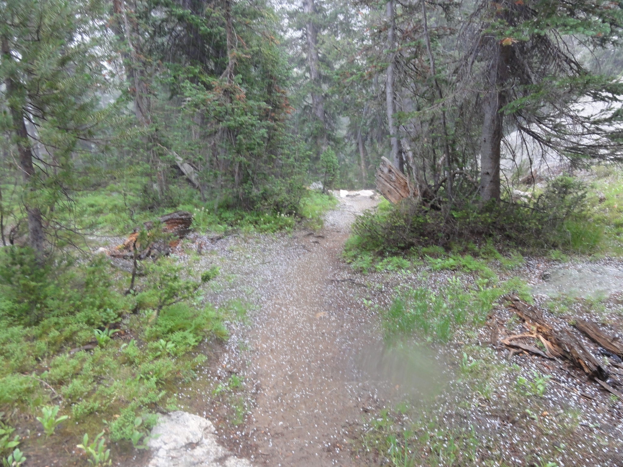
 49 |
 50 And then the hail storm hit. Marble sized hail pelting the ground hard enough to bounce, and cold enough to stick. I had to decide whether to find cover and wait out the storm (and risk having to setup camp in the storm in the dark) or press on. I decided to press on. |
 51 |
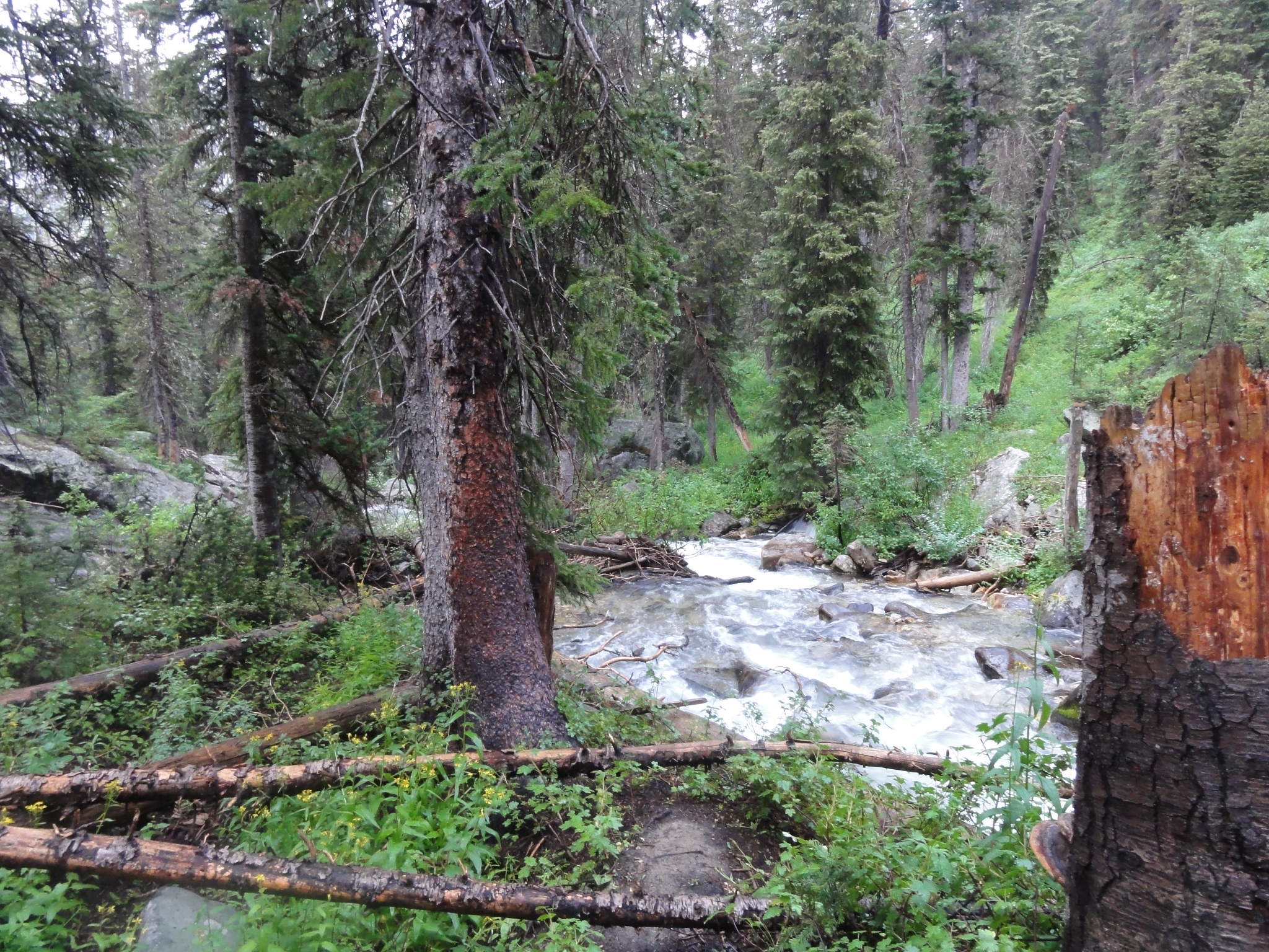
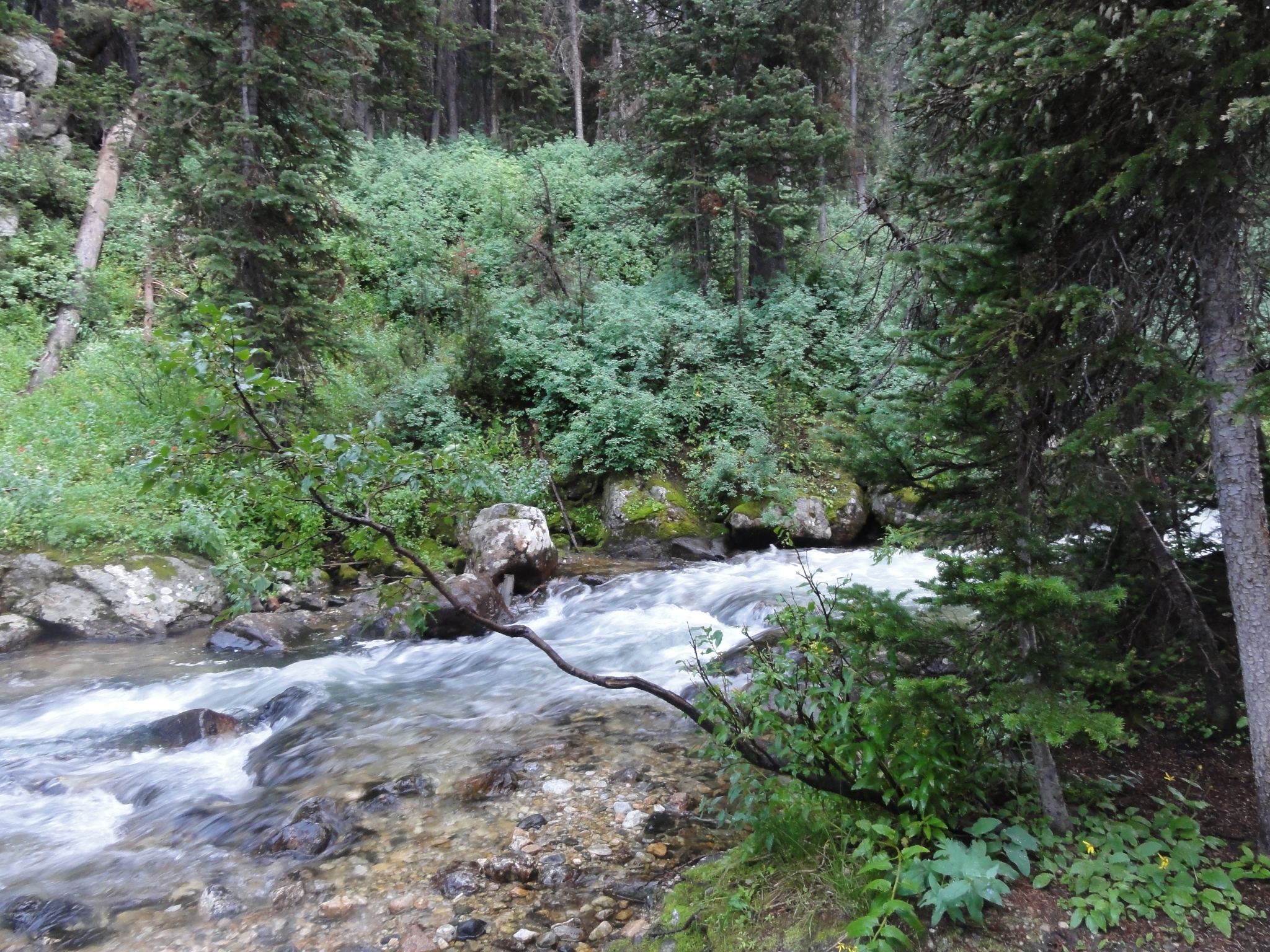
 52 Fortunately, the storm broke for a while and I was able to keep pressing on through the camp zone. The trail was steep downhill and I was making great time, but I was also running out of camp zone. There were only a few sites left, and one of them was already occupied. If the last couple were also full, I would have to backtrack uphill at least a mile back into the zone to return to the open sites I had already passed. |
 53 Cascade Creek roaring through the forest. |
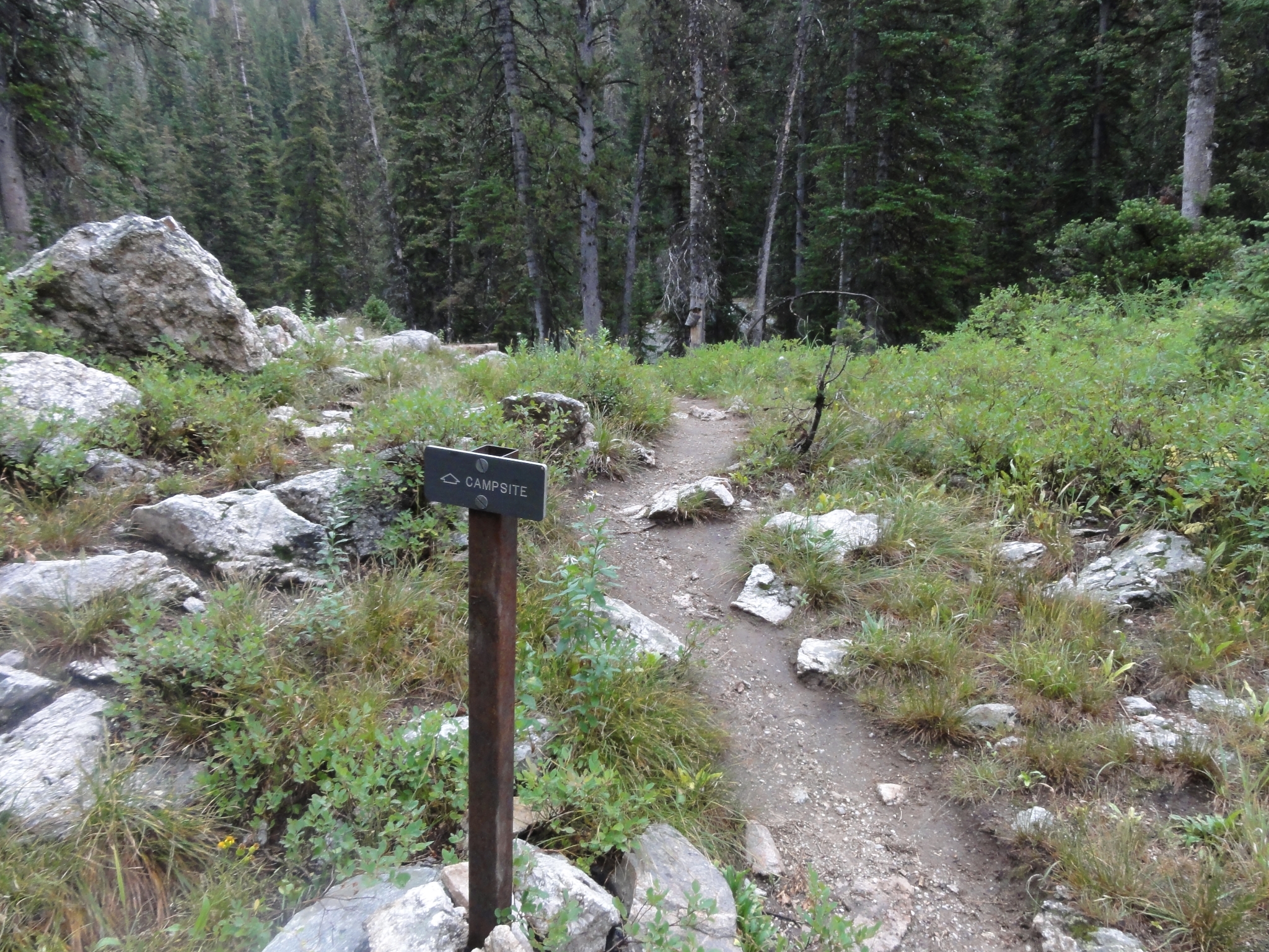
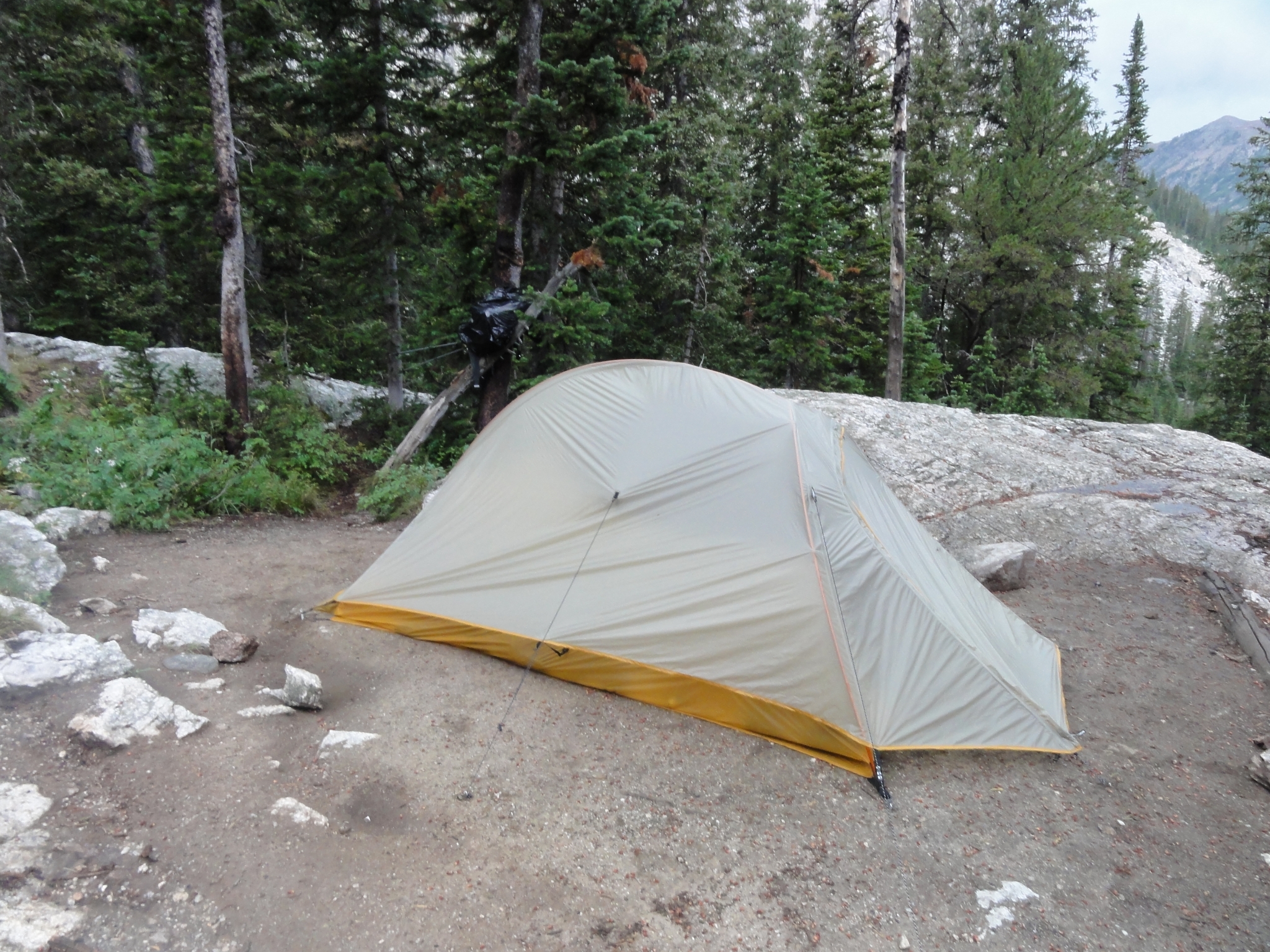 54 I got camp setup just before it started to rain again. As the rain started, an older couple came into my site and clearly didn't quite understand how the sites worked. They should have had to hike a mile into the zone to find an open site, but ended-up setting up their tent just dowhnill from mine on a pad marked "Closed for Rehabilitiation". Normally I would have been really upset, but on this storny night, I didn't mind having some company around. |
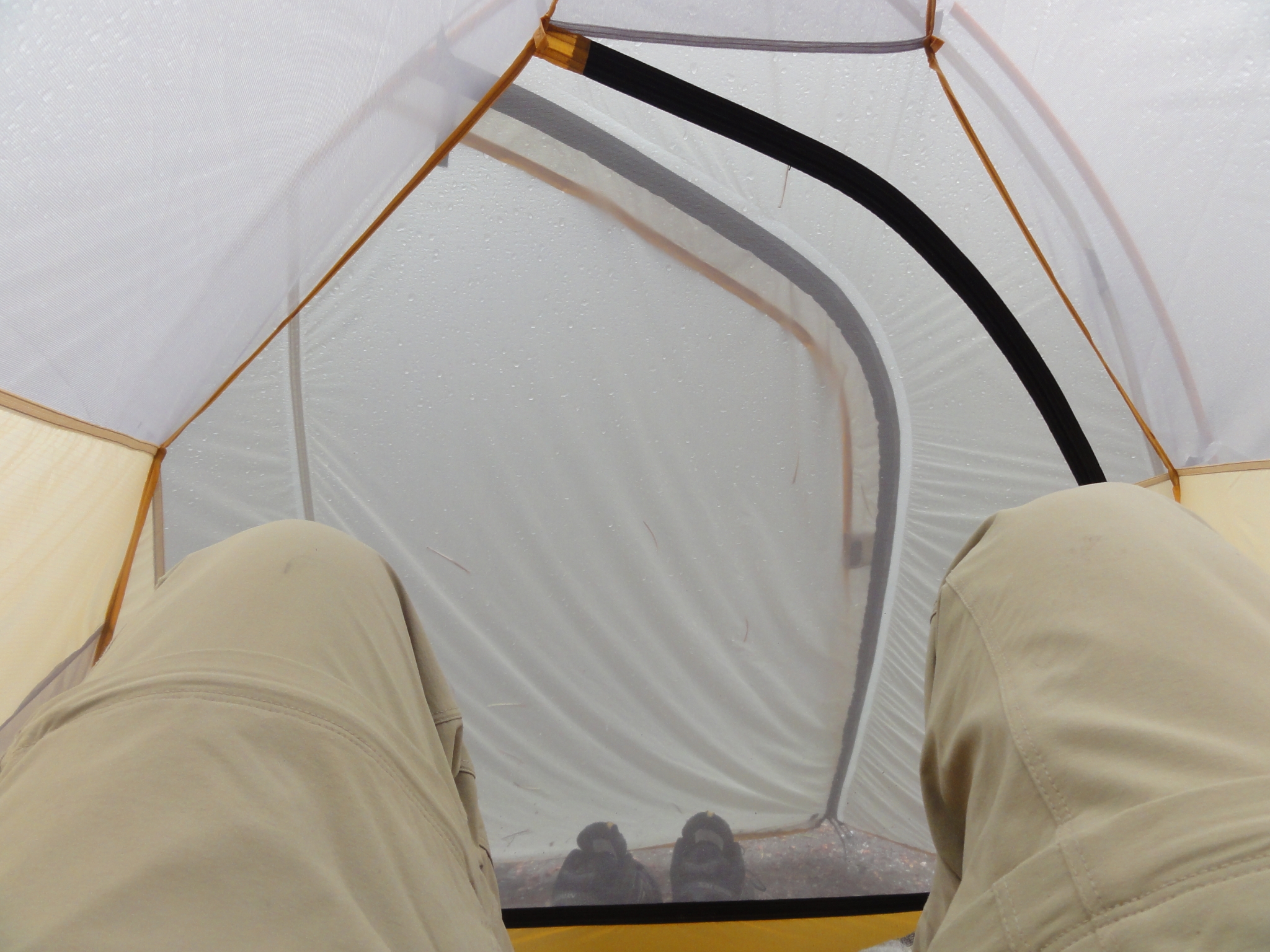
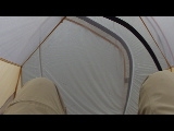
 55 I was down to the very last campsite in the zone. This is the trail leading to the site. Fortunately it was open, what a relief! Very cool when your campsite has it's own, private trail. |
 56 Then the next wave of the thurderstorm hit. This was my view for the next couple hours as I waited out the storm. Probably the hardest rain I have ever been in. I was seriously worried my ultralight tent was going to get torn to shreds. It was raining so hard, mud was splattering half way up the tent. And then there was the incredibly deep, rumbling thunder. I was resigned to not eating dinner that night, but the storm finally broke with just enough light left to make some dinner. |
 57 |
 58 Downstream from the campsite. I make another great freeze dried meal on my trusty JetBoil and then call it a night. |
 59 After the storm, looking upstream from the campsite. The old pad for the site was right down here on the edge of the stream, but it's closed for plant restoration. My tent is setup on the new pad, which is on a nearby ledge just uphill from the creek. |